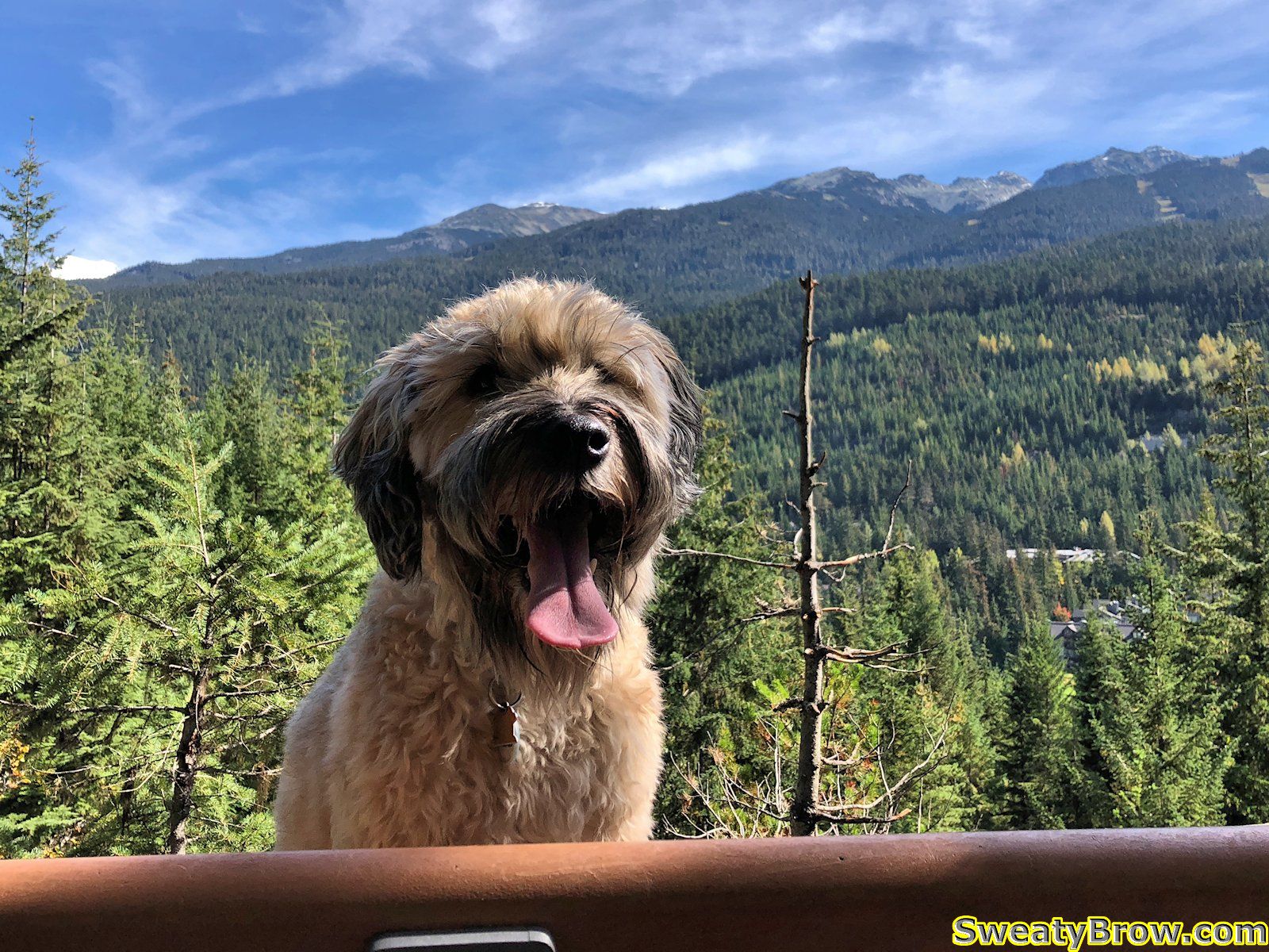

As BC started reopening its provincial parks in June 2020, it was nice to be able to get back out and visit some of them. However, others remained closed, since they were expected to be too busy due to their popularity. This included two of my favourite parks, Garibaldi Park and Stawamus Chief Park.
However, as of July 27, these parks are open to visitors – utilizing a new “day pass” system for day visitors, but also including overnight stays in established campgrounds.
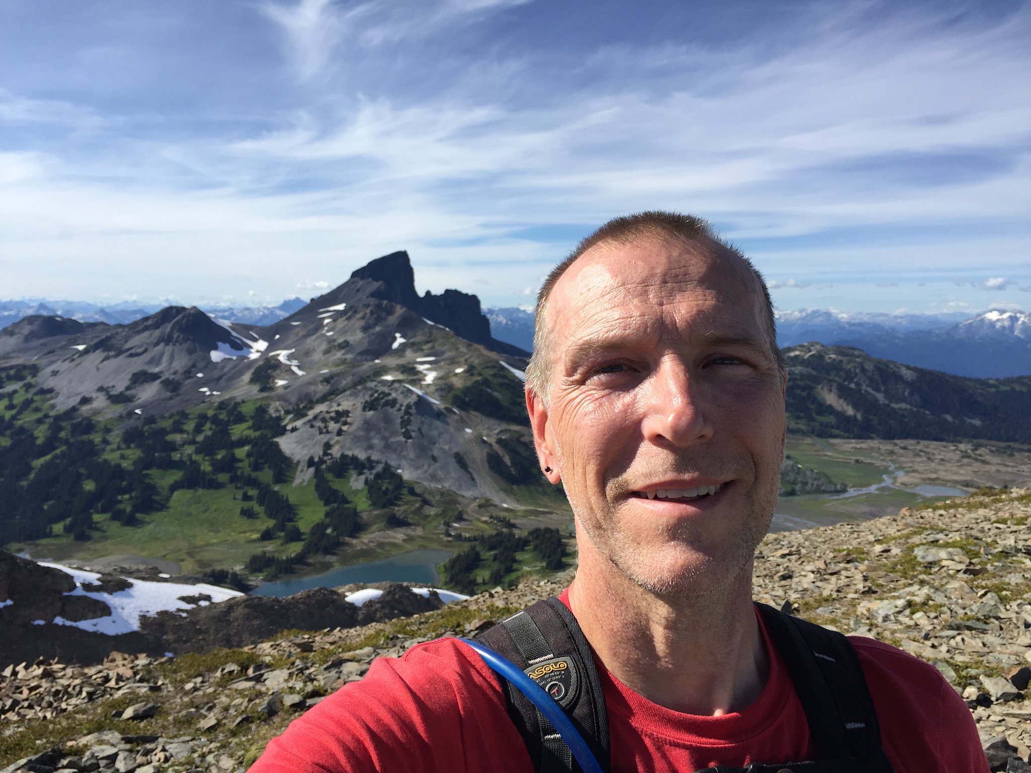
So it was that my friend Jeff and I reserved a pair of tent pads in one of Garibaldi’s more remote campgrounds, Rampart Ponds. We booked two nights, Wednesday and Thursday, July 29 and 30. We knew that the hike in would be fairly arduous, but wanted to get deeply into the park, and away from other visitors at the much more popular Elfin Lakes Campground.
We arrived at the trailhead a little after 8:30, and had our permits checked by a ranger stationed in the parking lot. There were around 6 other vehicles parked there at the time. We were on the trail by 9:00.
Conditions were lovely, and the day was certainly warming up. As we headed up the old road toward Red Heather shelter, we stopped after 2.5 km and stashed a couple cans of light, frothy refreshments into a creek, for the trip back. We saw a couple of people on their way back from Elfin Lakes, and there were just a few people there when we arrived.
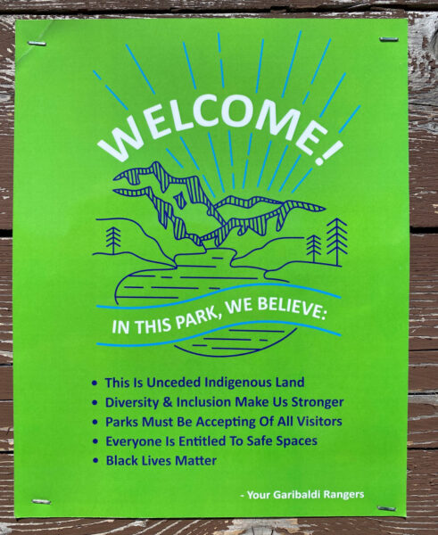
We were also pleased to see the following sign posted at the campground there:
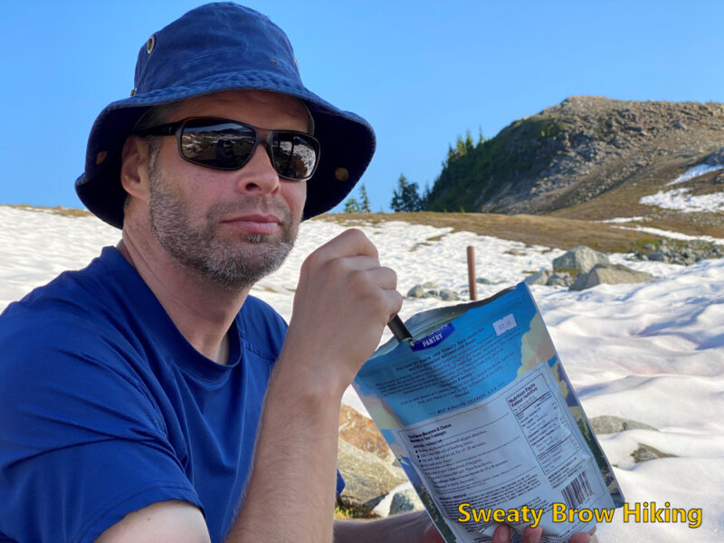
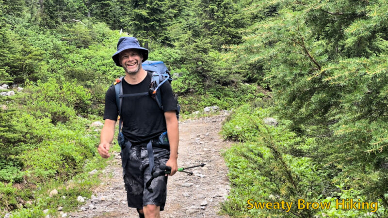
We stopped for a quick snack, then kept going.
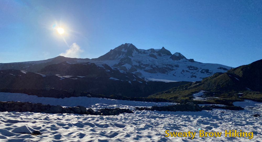
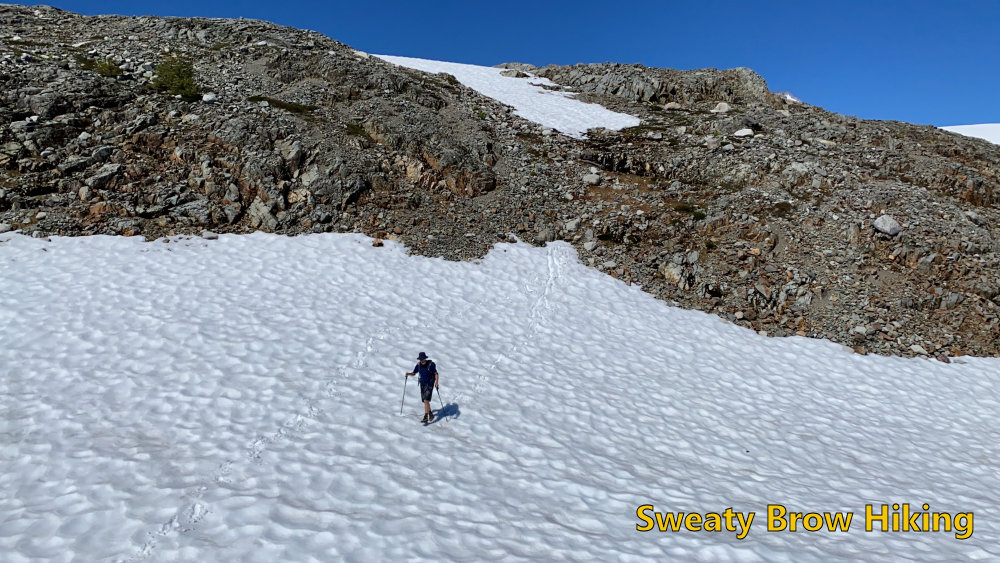
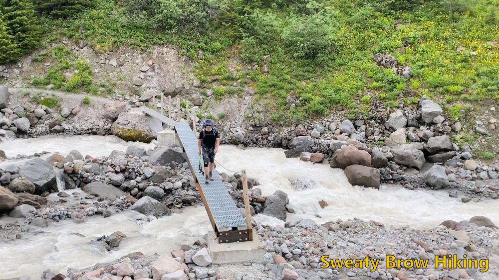
After Elfin Lakes, the trail does a long descent into Ring Creek, and climbs back out the other side, up to the base of Opal Cone (an ancient cinder cone beside Mount Garibaldi).
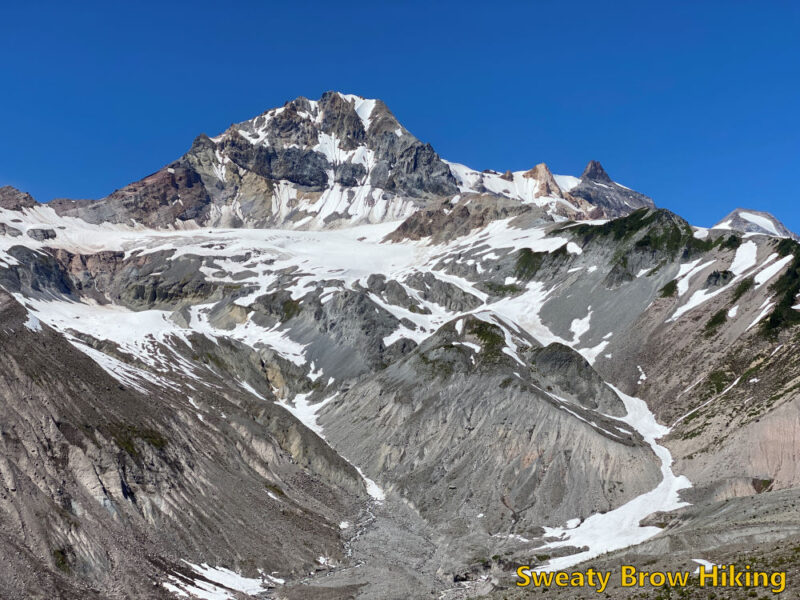
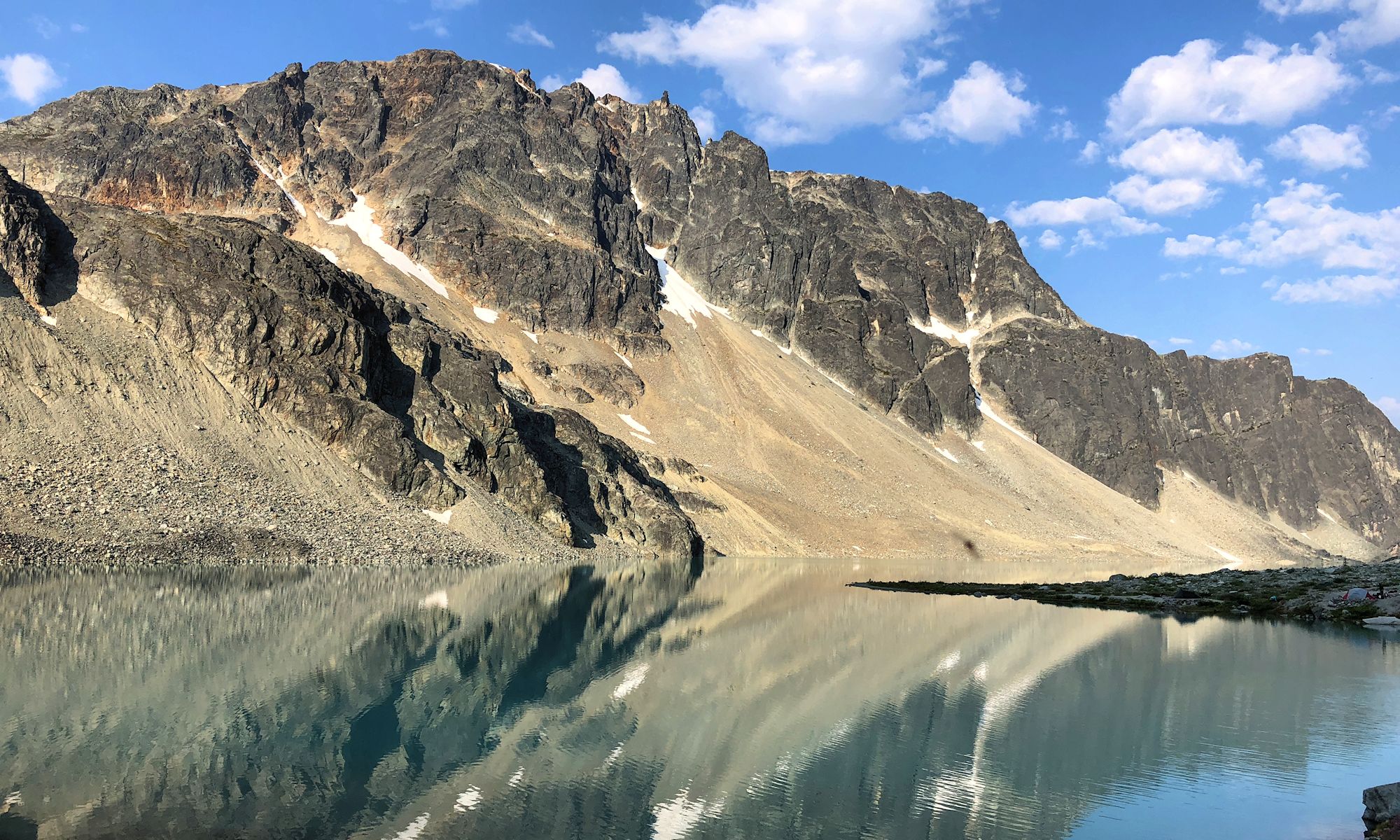
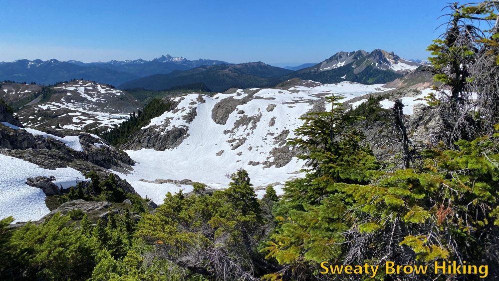
After rounding the base of Opal Cone, the trail drops into a shallow, wide valley that used to contain Lava Glacier. This glacier appears to be mostly gone, now, and there is a lake in the middle of a snowfield now.
I’ve included an image from a paper entitled “Glacier change in Garibaldi Provincial Park, southern Coast Mountains, British Columbia, since the Little Ice Age” (Koch et al. 2009). The paper makes fascinating reading. It is available here: https://backcountrybc.ca/component/edocman/glacierchangeingaribaldiprovincialparksincelittleiceage-pdf/viewdocument?Itemid=
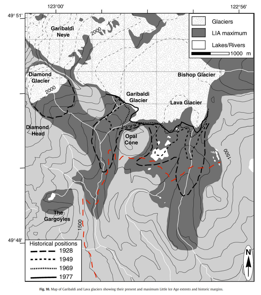
I have superimposed the approximate location of the trail we hiked to Rampart Ponds, in red. The darkest area shows the extent of the glacier around 1700 AD, the maximum extent during the Little Ice Age, and then at various years through the 20th century.
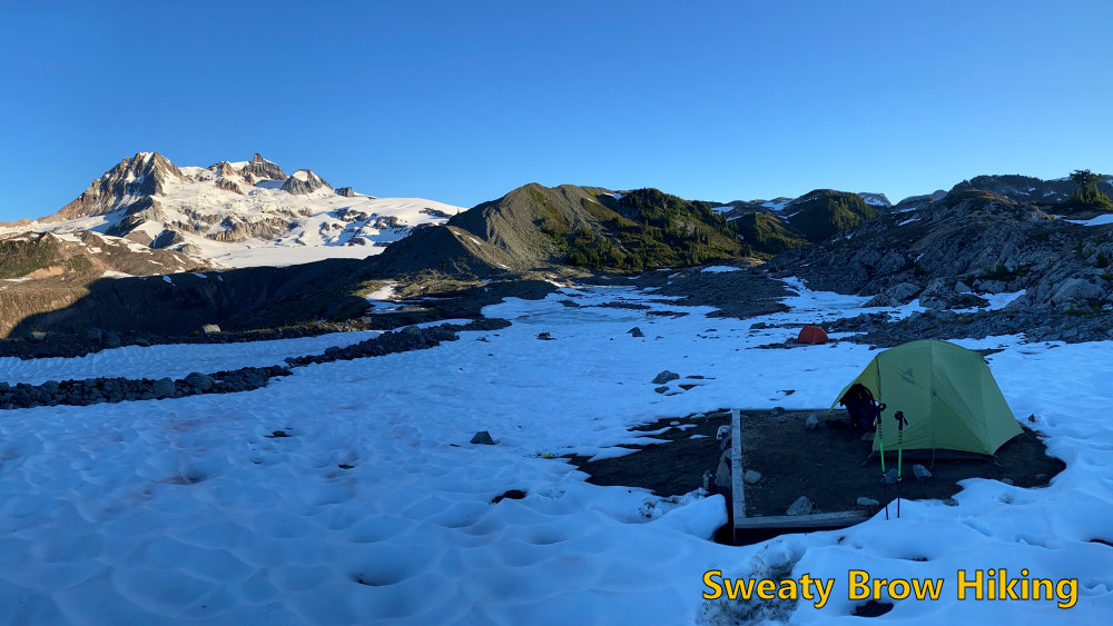
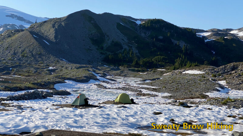
At about 3:45, 6 hours and 45 minutes after setting out, we arrived at Rampart Ponds. There were two other people staying at the camping area that night. One had already arrived and set up his site prior to our arrival, and the other arrived just after us (she had stayed at Elfin Lakes the night before, and climbed Opal Cone on her way to Rampart Ponds.)
Jeff and I set up at two adjacent tent pads, which were partly covered in snow. After some dinner, some beer, and some conversation, we watched the sun disappear behind the shoulder of Mount Garibaldi.
As soon as the sun was down, it got cold fast! We hopped into our tents and bedded down for the night. I hadn’t taken my warmest down quilt – just my lightweight synthetic, and I ended up a little bit cold during the night. I have regrets…
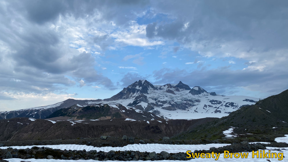
In the morning, I was up as soon as the sun fully lit Garibaldi, across from us. The shadow of the ridge behind us soon crept along the valley floor, and things warmed up quickly!
The others at the campsite packed up and left, heading back toward Elfin Lakes and the exit. We had one more night to spend, and decided to spend the day doing some exploring. On the way in, we had talked about making an ascent of Opal Cone, but decided that we would save that for the final day, on our way back toward Elfin Lakes and the trailhead.
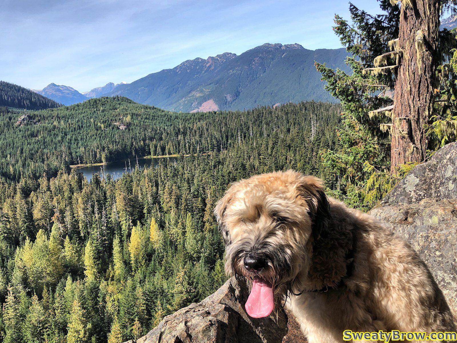
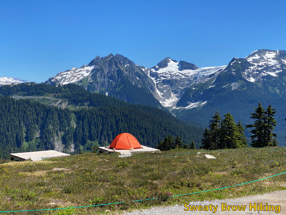
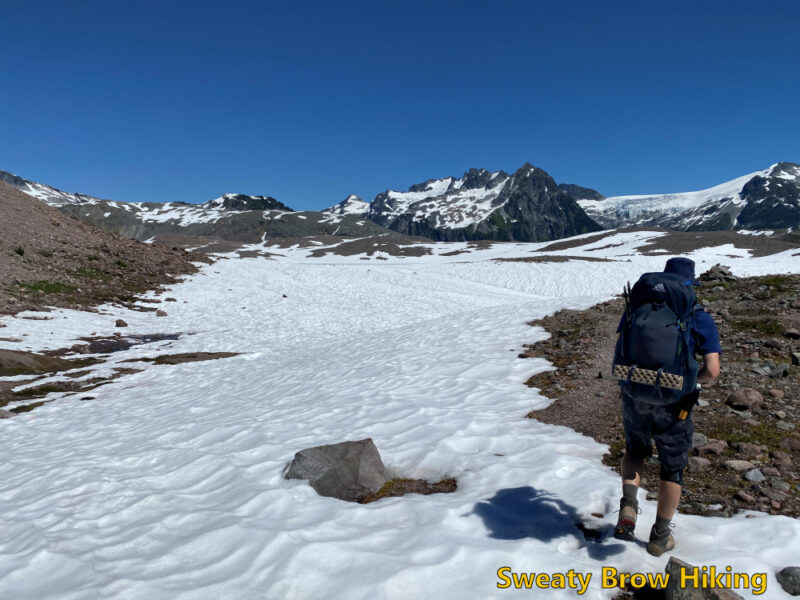
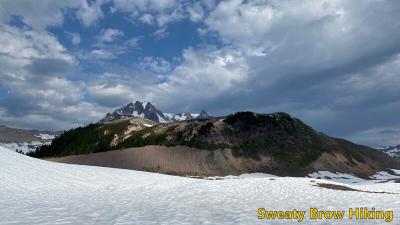
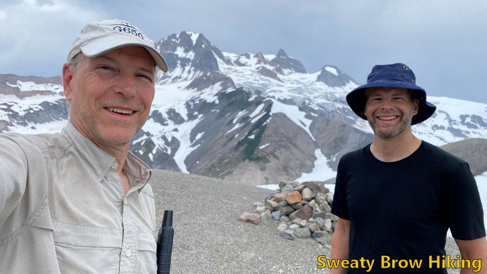
After a leisurely breakfast, we were on our way at about 10:00. We headed northwest, up onto the ridge that is visible at the centre of the photo above.
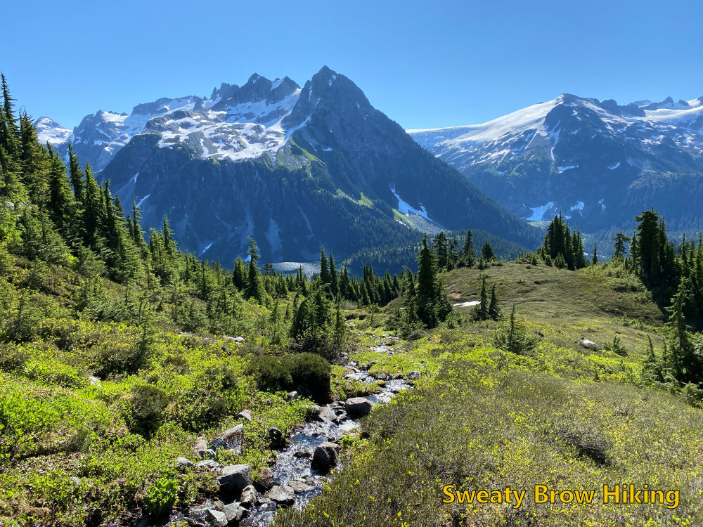
We followed the ridge north for a while, through some snowfields, talus slopes, and rock slabs, until we were looking over a creek draining the Bishop Glacier into Pitt Creek. From there we turned east and followed the ridge further.
After about an hour and a half, we turned around to head back to camp.
On the way down the ridge, we ran into a guy who was day hiking in the area. He had ridden a bike up to Elfin Lakes, and hiked from there. He had certainly come a long way, already, and had a long way to go back out! He told us about some of his explorations around the area, and was quite inspiring!
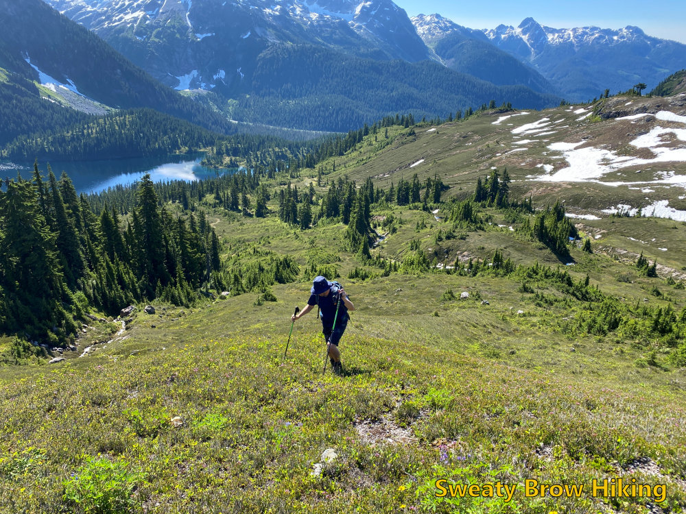
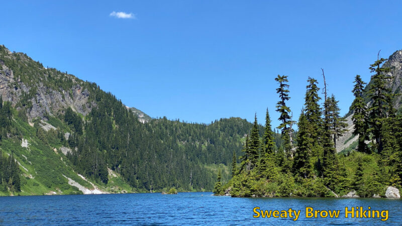
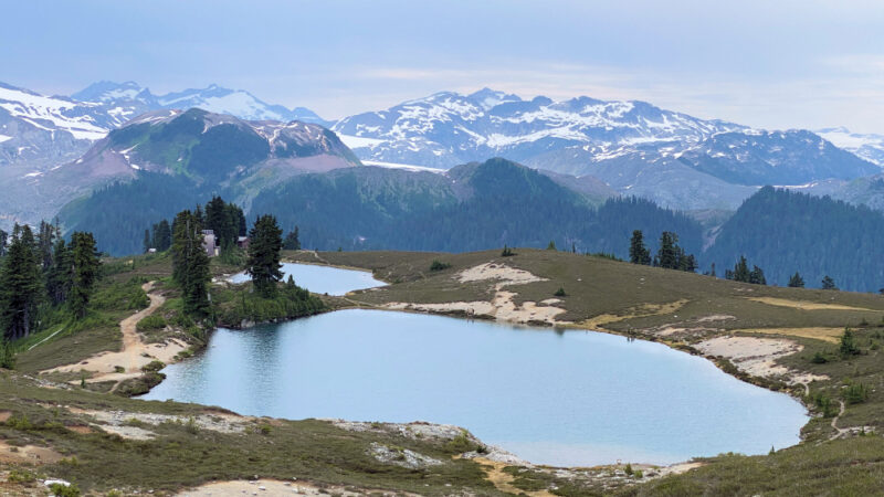
By 1:00 we were back at camp, where we gathered some things (like lunch and towels) and set off for Mamquam Lake. It was about 2 km away, with a drop of about 250 m on the way, and took half an hour to reach. By this time, the day had gotten very warm – like vicinity of 30 degrees warm. We reached the lake and were swimming in no time! We couldn’t stay in long, however – the air was warm, but the lake was cold! We ate a few snacks, and lingered a while.
After a little over an hour, swimming, eating, relaxing, we started back up the hill. Progress was slow, but steady, and after about 55 minutes we were back at camp.
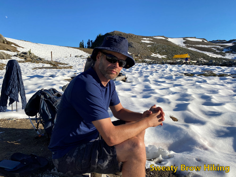
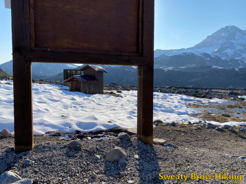
When we got back, the heat was oppressive. There was no shade in the campsite other than behind the outhouse, the food lockers, and a large sign board that didn’t really have anything posted on it. We were hungry, and didn’t have many options – so we sat behind the sign, in its small square of shade, and prepared dinner.
Again, the sun disappeared behind the horizon around 8:10 PM (quite early, due to the high ridge of Mount Garibaldi) and it got cold fast. Fortunately, this night didn’t get as cold as the previous one, and I was a comfortable temperature all night.
In the early morning hours, a little bit of rain spattered our tents. At 7:12, I took a bit of video, mainly to capture the sound…
The sky was pretty mixed – there were some lovely patches of blue, but waves of showery clouds kept passing through. Fortunately, the rain never came down heavily – it was really quite gentle, and not particularly cold.
We packed up our tents, and by 9:00 we started to retrace our route back out of the park. Upon reaching the base of Opal Cone, we started up a trail that curls around from the south slopes, toward the east side of the mountain. The trail follows the crest of a lateral moraine from the old Lava Glacier, and is just a lovely path to follow.
Finally, the trail reaches the base of a gully that heads steeply upwards. We dropped our packs, and started up. It didn’t take long before we were approaching the top of this ancient volcanic cone, and we looked left and right, trying to determine the best way to get to the highest point – and where exactly that “highest point” was.
We turned left, for what seemed to be a likely target, and slogged our way up to a summit. After a moment, we realized that the actual high point was much further around the cone. We deliberated for a couple of minutes – say “close enough” and head back, or continue down, and up, and down, and up around to the summit? It didn’t take long, and we decided that we would make a complete circuit around the entire ancient, crumbly crater.
That was certainly the right decision! Following the ridge all the way around Opal Cone took us maybe half an hour, and was just gorgeous. The views were spectacular, and the terrain was really interesting to hike around.
After our full circuit, we slid and scrambled back down the steep gully to our packs, then followed the sharp ridge of that lateral moraine back to the main trail. From there, it was the long, long descent into Ring Creek, and back up the other side. On occasion, we were still getting short showers passing through, but they were quite refreshing. We were just happy not to have the heat of the previous day, as we laboured uphill with full packs.
We reached Elfin Lakes at 1:00 and enjoyed a bit of lunch, and refilled our empty water bottles/bladders for the balance of the trip. After half an hour, we were on our way again.
In another hour and a half, we reached our stashed beverages, and enjoyed them as we hiked the last forty minutes to the parking lot. The many people we saw hiking the other way, steeply uphill, looked as if they wished they’d thought that far ahead as well.
We reached the (crowded!) parking lot at 3:45, and changed into fresh t-shirts and sandals. Finally, we headed back to Squamish, where we stopped for a hearty meal at The Copper Coil.
Looking back on the trip, we were amazed at how quiet the park still was. The park had opened again on Monday, and we were there on Wednesday and Thursday nights. And yet, once we were past Elfin Lakes, we only saw a grand total of four other human beings. Stunning wilderness, only a couple of hours from the bustling metropolis, in almost perfect weather, and we just about had it to ourselves… An opportunity to be savoured, and long remembered!