Day 4
It was the morning of June 10, and I had covered about 67 km of the West Highland Way. I was up fairly early, and after a couple of fairly rough days at the start of the route, I felt like I was starting to hit my stride. I picked up a couple of things in the wee shop in the Beinglas Farm campground, and made some breakfast in the well equipped campers’ kitchen.
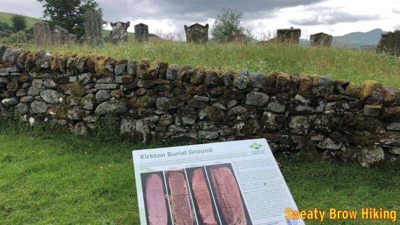
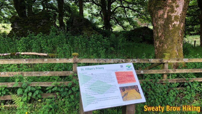
I was soon on my way, and began covering some distance. After about 15 km, there are some signs as you pass through a place called Kirkton. They point out an old burial ground dating back to the 8th century, and the ruins of an old priory dating to the 13th century. I love seeing this kind of history!
I passed through the little town of Tyndrum around 1:30 or so, and stopped in at the Tyndrum Inn for a pint of Guinness. There was a dog sitting at its owner’s feet over at the bar, which I just loved. How I wish we could take our dogs in to pubs at home…
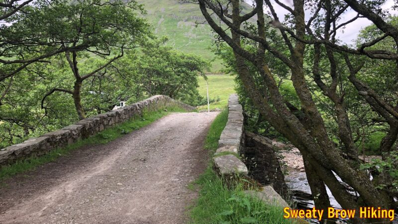
I think that the Guinness, much like Red Bull is supposed to, gave me wings. I continued through Bridge of Orchy, and along to Inveroran. A couple of hundred meters past the Inveroran Hotel, there is a small field beside a bridge over a small stream called Allt Tolaghan. This field is used for “wild camping” – that is to say, camping in an area that is not a serviced campground.
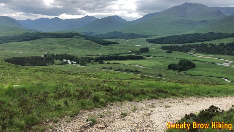
When I arrived and set up my tent, there were a couple of young women camping there as well. We sat together for a little while and chatted. One of the women was from Japan, but had lived in Scotland a few years previously, and was back to visit, traveling with a Scottish friend. I had the feeling there was possibly something romantic between them, but who knows? We didn’t stay out long visiting, because as the day approached night, the midges became pretty much unbearable, as they had been throughout the trip.
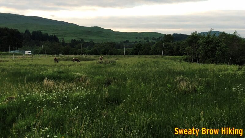
As I was heading back to my tent, a few deer wandered into the field beside the camping area, browsing in the grass and along the side of the stream, and I took a couple of photos.
I had covered 34 km this day, and was asleep before dark. (Of course dark wasn’t until almost 11 in mid-June, at that latitude!)
Day 5
It was now Monday morning, June 11, and I had covered a little over 100 km of the West Highland Way, leaving just over 50 km to Fort William. I was up and on my way quite early (for me) at about 7:45. I wanted to get the balance of the trip done by Tuesday evening, as the weather was supposed to take a turn for the worse on Wednesday.
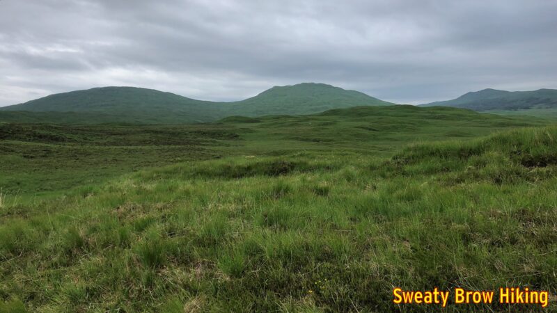
This was one of my favourite days on the trail, due to the scenery on the way. It was a fairly steady pull uphill for the first couple of hours, up and over a shoulder of a mountain at the Glencoe Mountain Resort, a ski area near Kingshouse, on Rannoch Moor. The trail then drops down to the Kingshouse Hotel, which was under renovation when I was there, so I wasn’t able to stop for a big fancy meal. The restrooms were open, though, so that was quite pleasant.
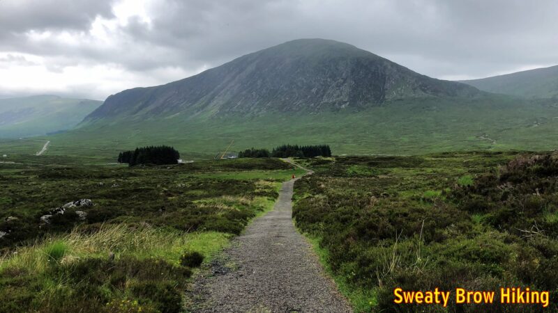
From Kingshouse, the trail continues across Rannoch Moor toward one of the most recognizable, and beautiful, mountains in Scotland: Buachaille Etive Mor.
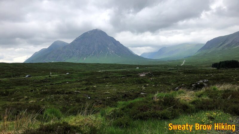
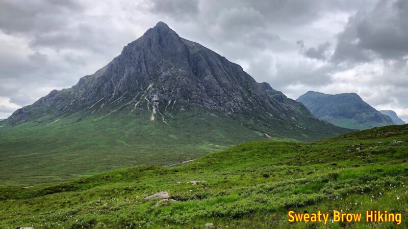
As I hiked towards this captivating view, I was so distracted that I missed a turn on the trail. I continued until the gravel path I was on met up with, and crossed, the A82. I realized that the WHW stayed on the north side of the A82 along here, and figured out my mistake. I had to backtrack about 400 meters to get back on route. At least it wasn’t further…
I later learned that Buachaille Etive Mor (“The great shepherd of Glen Etive”) has one of the most famous scrambles in Scotland up its flanks – Curved Ridge – and I swore I would come back to climb it. (Less than a year later, I did!)
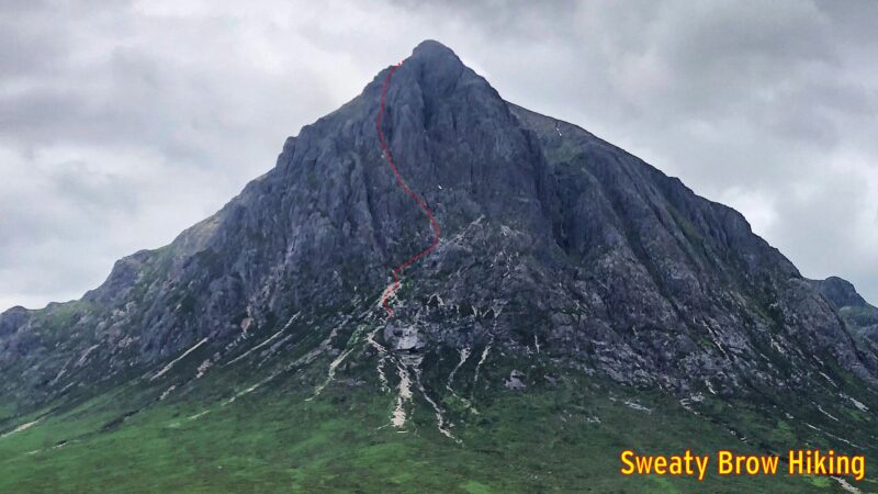
Back to the present, however, and the trail traversed along across the valley from the Buachaille, just uphill from the A82, offering great views along the way. Suddenly, just as the roadway turns down the top of the famed Glen Coe, the trail veers off to the right, and starts up the infamous Devil’s Staircase. Over the course of about 1.5 km, it gains about 250m. Now, that’s not a massively steep climb when you’re used to hoofing up BC’s coastal mountains – or the Munros of Scotland – but it does come as a bit of shock after a pleasant ramble along Rannoch Moor.
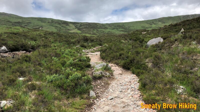
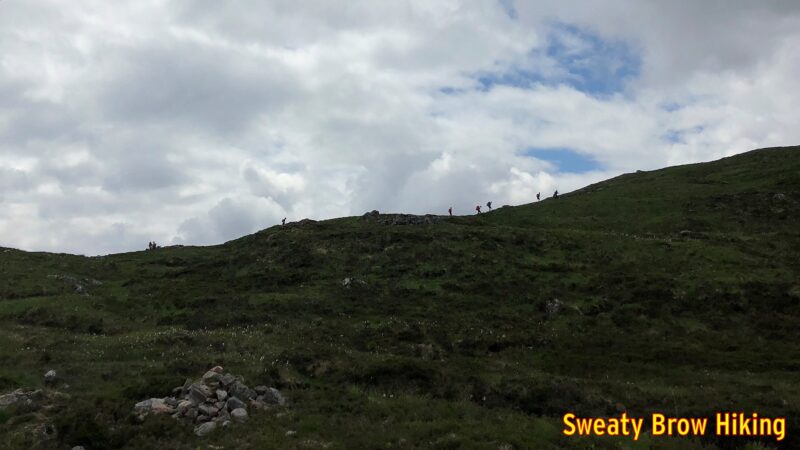
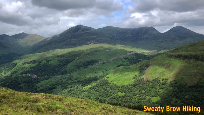
The Devil’s Staircase takes you up and over a mountain pass, then drops down into the valley of the River Leven. On the way, there are some great views, first to the left, where you can see the south side of Glen Coe, then to the right, across the Blackwater Reservoir. As you descend into Kinlochleven, there are views ahead of the Mamores, a series of Munros to the north.
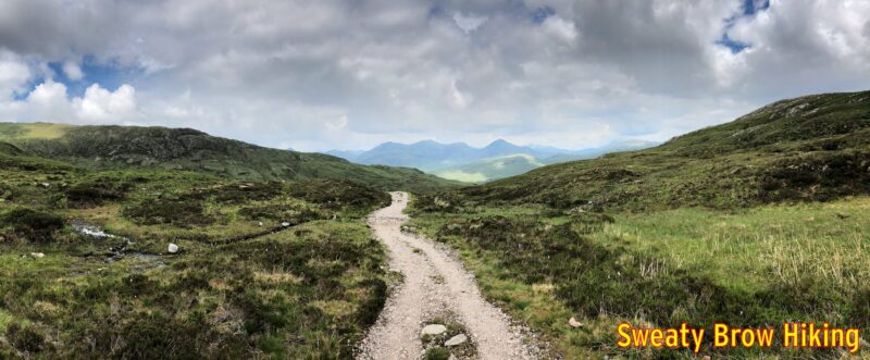
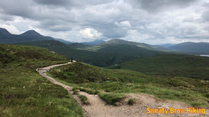
As I was hiking for the day, I decided to book a night in a camping pod at Kinlochleven. The pods looked very cozy, and I could get away from the midges! I covered about 30 km this day, and arrived in Kinlochleven around 3 PM.
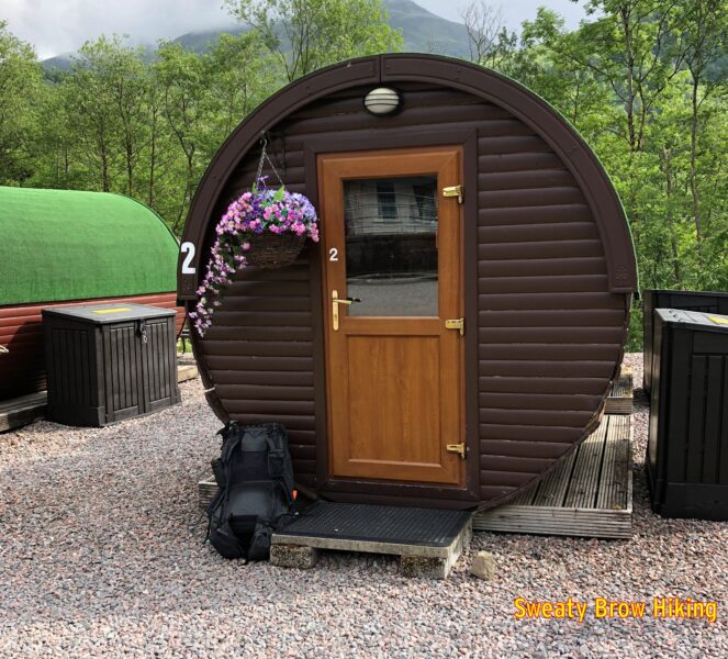
The place was very nice, with good shower and eating facilities, and the pod was quite pleasant. However, it had warmed up a lot that day, and it was actually very hot and stuffy inside the pod. The thing I couldn’t believe was that the midges seemed able to get into the pod somehow. I had a window open, but it had mesh across it. Maybe the mesh wasn’t fine enough.
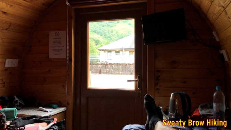
I lay upon the bed, on top of my quilt, trying to cool off, but the midges just kept attacking. I looked like I had measles, from all the bites on my torso. Over the past few days I’d learned that the midges don’t really emerge until the very end of May, and (as a bonus) that May is pretty much the driest month in the Scottish Highlands. I texted my wife that I would never camp or hike in Scotland in June ever again…
As the evening went on, I had a hard time deciding between being entirely under the covers, and sweltering, or staying uncovered and being bitten. Even after closing the window, and smacking every midge I could spot, it took hours before they thinned out enough to sit comfortably on top of my quilt. By about 1:30 AM, I was able to fall deeply asleep.
Day 6
This was it – the final day on the West Highland Way. The alarm woke me from a deep sleep at 8:00 AM. I had some breakfast and packed up my things. By 9 I set off to cover the last 25 km to Fort William.
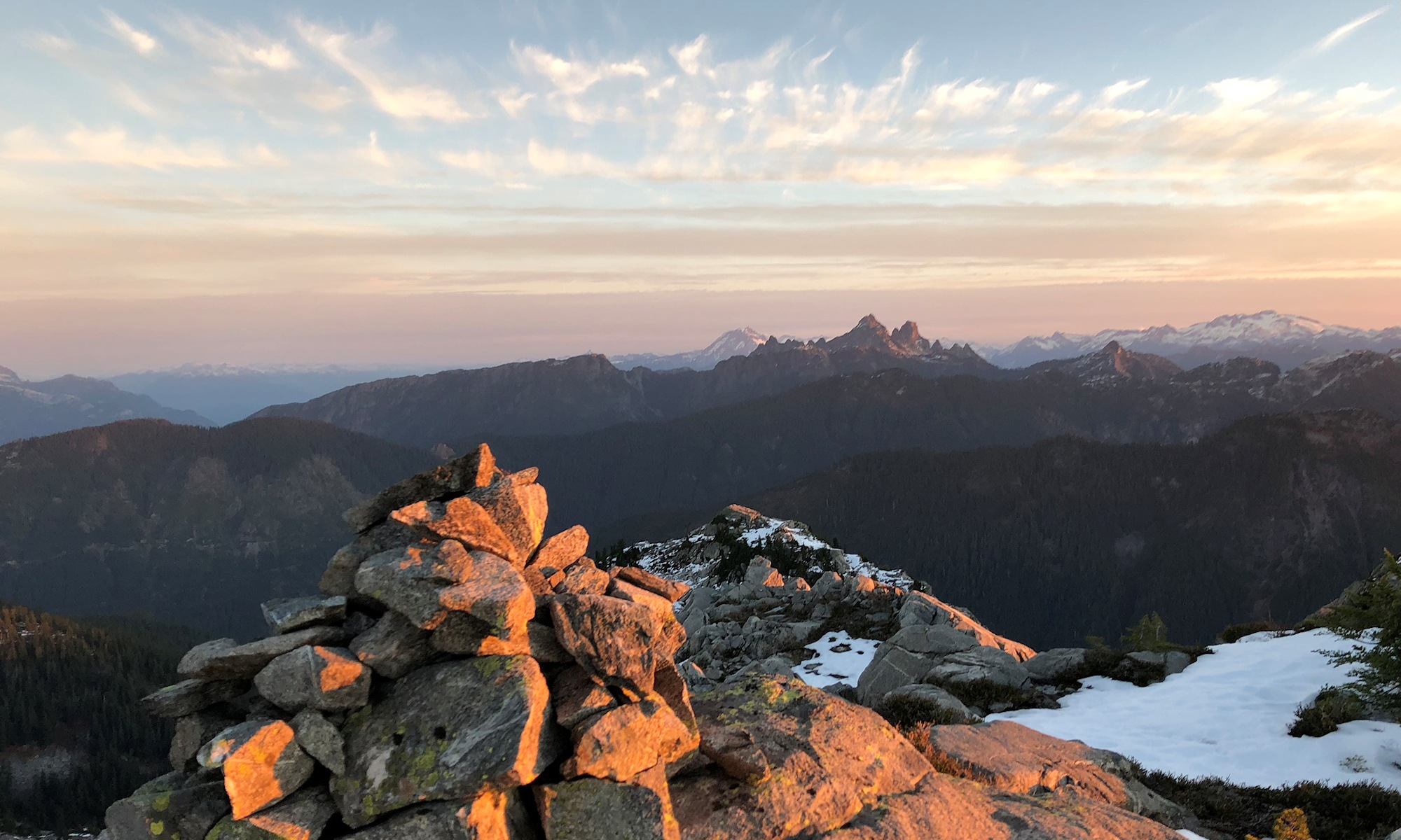
After a couple of hours, I rounded a curve in a valley, to where Ben Nevis (the UK’s tallest mountain) should be visible, but the summit was wreathed in cloud. A short time later, I broke off from the trail to hike a short, steep spur up to an old Iron Age hill fort, Dun Deardail. The fort was built over 2000 years ago, and destroyed by fire sometime between 100 and 200 years later.
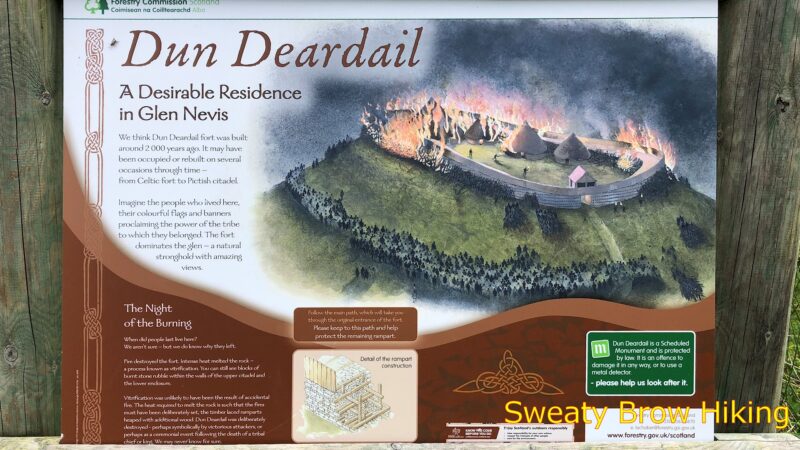
There wasn’t much to be seen at the hill fort, just a raised embankment in a roughly oval shape, with some stone projecting up out of the soil. The views across to Ben Nevis, and down the valley toward Fort William were quite spectacular, though!
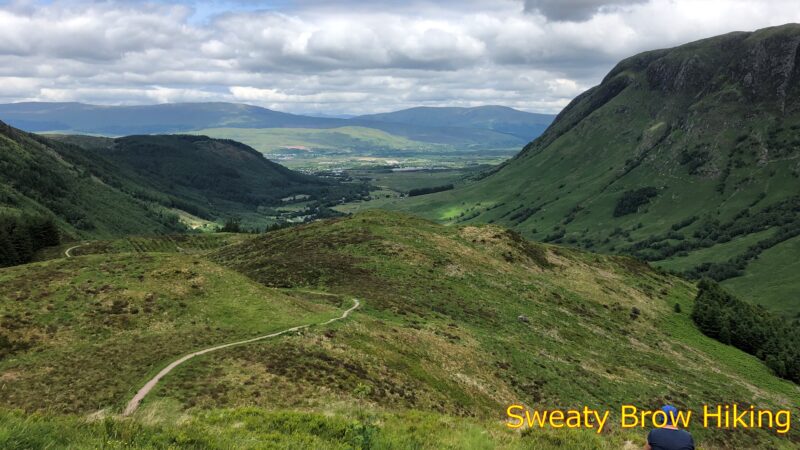
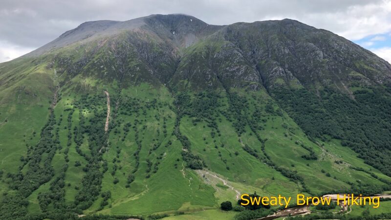
I continued down the trail toward Glen Nevis, the valley that leads to Fort William, and arrived at the visitor centre around 1:15 PM. I bought a drink and some crisps, and enjoyed them outside on a bench. Refreshed, I continued the final 4 km into Fort William.
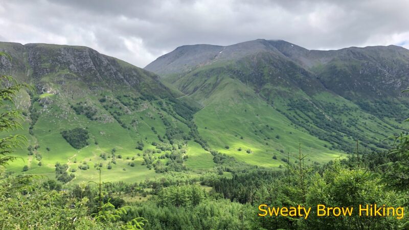
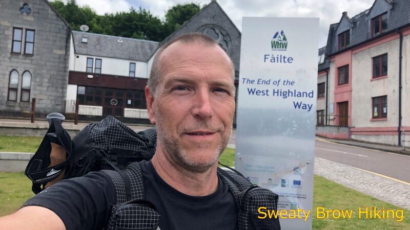
I strolled through town, and arrived at the end point of the West Highland Way at 2:30, tired and happy to be done – and to have done it! It was time to hit the pub!
