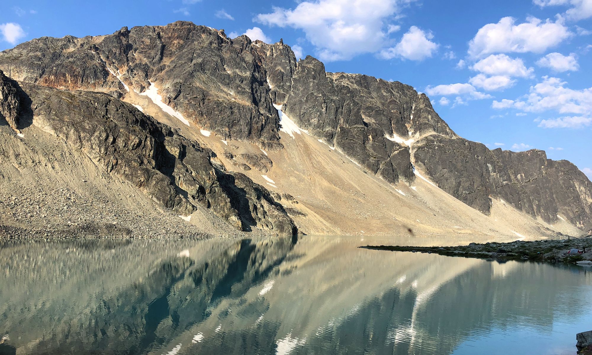
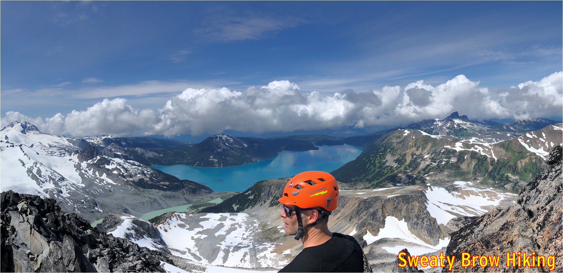
Castle Towers is a mountain that Jeff and I had been wanting to climb for a while. It involves a long trek into the Garibaldi Park backcountry, an overnight stay, and a lot of up and down over many kilometers!
We met at Jeff’s place in North Vancouver at just after 5:30 AM, and were soon on our way. After a quick stop at the Zephyr Cafe in Squamish, we arrived at the parking lot for Cheakamus Lake a little before 8:00, and did a final gear sort. We were on the trail by 8:15.
After stashing a brace of beers in the creek for the return, we crossed the Cheakamus River and started steeply up toward Helm Creek Campground.
As we climbed steadily up into the heart of the park, despite some blue patches in the sky, the weather slowly became worse. We reached the campground after about 3 hours of hiking, and stopped for a bite to eat.
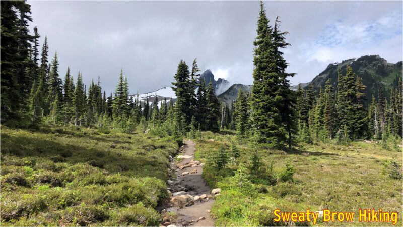
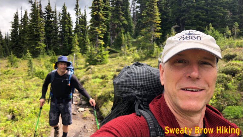
We continued up toward the Helm Glacier, and planned to traverse up on the left side of the glacier, all the way up to the head of the valley. As we turned up the valley, we watched a couple of marmots who were having a bit of a tussle. Another was nearby. I have some video somewhere, and will upload soon…
As we looked up the valley, we were disappointed to see more snow than we expected trailing up the slopes beside the glacier. The going didn’t look nearly as good from this vantage point as we had hoped.
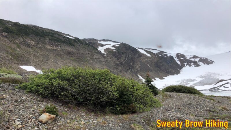
We made a quick change of plan, and headed steeply up to the left, to reach the ridge line east of the glacier, and south of Helm Peak. It was a steep, gruelling ascent, and once we reached the top of the ridge, the weather really closed in around us.
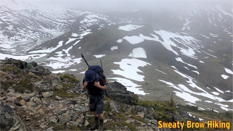
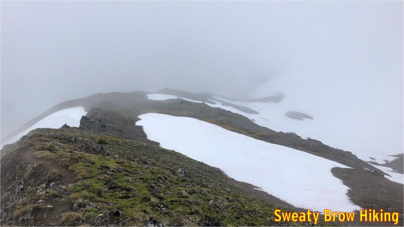
As we followed the ridge, the rain began to spatter down, and we were totally engulfed in cloud. Because we couldn’t see very far, we couldn’t tell whether it was possible to bypass the various bumps and peaks along the ridge. Rather than risk attempting to bypass these features, and end up cliffed out as the terrain got steeper and steeper, we ended up going up and over every single feature along the ridge, adding a lot of unnecessary up and down to the approach. I didn’t take any photos once the fog got really thick, but you can get the idea of deteriorating conditions below…
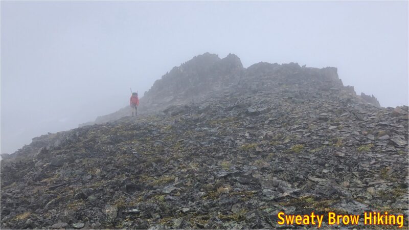
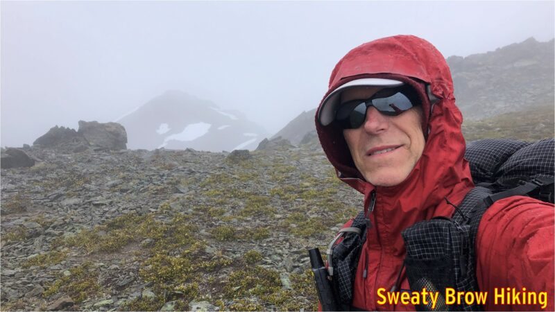
Finally, 7 hours after beginning the approach, and thoroughly tired and wet, we reached the head of Helm Glacier, and started the steep descent down slippery grass meadows into Gentian Pass, our destination for the night.
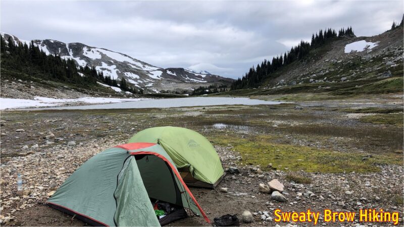
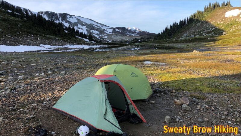
When we arrived at our planned camping area, at about 4 PM, the wind was driving, and the rain was like needles on our skin. We decided it was best to set up our tents as quickly as possible, rather than stand shivering in the elements. Conditions were not suitable for taking photos!
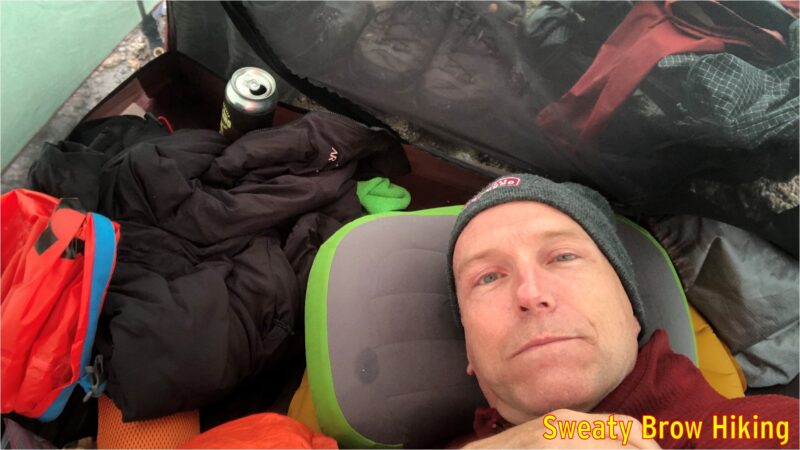
Setting up the tents was quite a challenge under those conditions, and when we finally did get them pitched, we each crawled into our respective abodes for a bit of shelter in our bedraggled states. We each also cracked open a beer to reward ourselves for a job well done. I managed to doze off for a little while, as well.
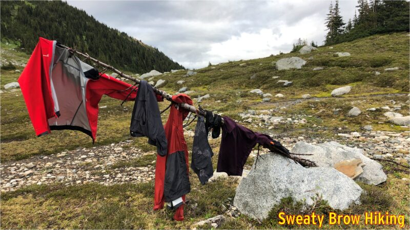
Things eventually quieted down outside, and we emerged from our tents around 7 PM to think about dinner. The rain had cleared off, the wind had dropped to almost nothing, and there were once again breaks in the clouds! We hung some of our wet things out to dry on some nearby snags, and set about preparing some hot food.
Bellies filled, we retired to our sleeping bags to rest up for a big day to follow..
The next morning we were up bright and early, and the day was looking fantastic. There were a few scattered low clouds around and some high wispy cirrus clouds, but nothing appeared threatening. We had some breakfast, and tidied up camp, packing everything into our tents before we left.
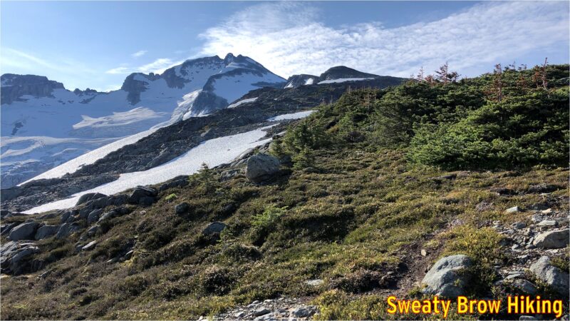
Again, 8:15 was out departure time, and we made quick time heading out of camp up toward Polemonium Ridge. That quick pace didn’t last very long, however, as the route was a long, steady climb up, up, up. Still, we managed to reach the top of the ridge in just over an hour. As we moved up, the views continually improved.
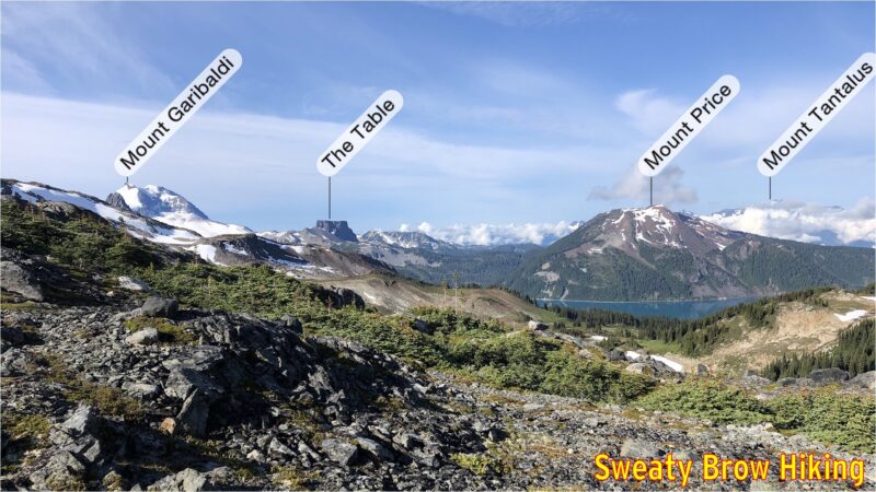
We stopped for a quick snack, and strapped on our helmets before starting a steep, rocky descent down the other end of the ridge. Soon we were out of danger from loose rock, and started up the other side of the pass toward Castle Towers.
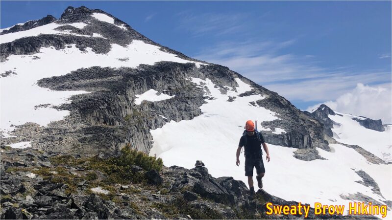
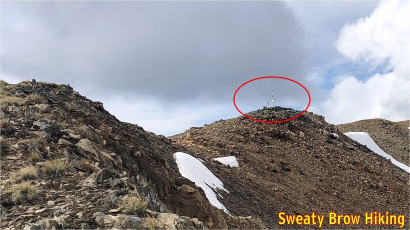
The top of Castle Towers (well, not actually the “top” as the route only goes to the lower of two summits – the true summit was beyond our comfort level!) is only about 1 km travel from the pass, but an ascent of over 400 meters. You could call it steep!
There were a couple of steep snow fields along the way, and we pulled out our helmets, crampons and ice axes to be safe. Again, the views opened up magnificently, particularly over Garibaldi Lake.
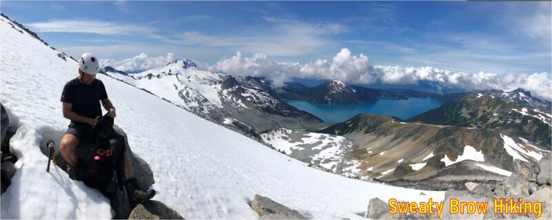
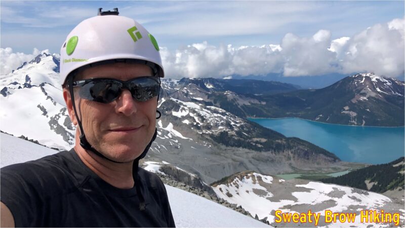
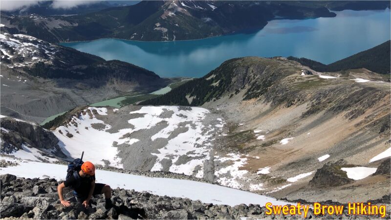
We reached the summit (well, our summit) a few minutes after noon, and took a couple of photos. We then dropped to just below the summit block, and snacked for a little bit.
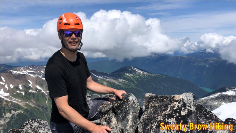
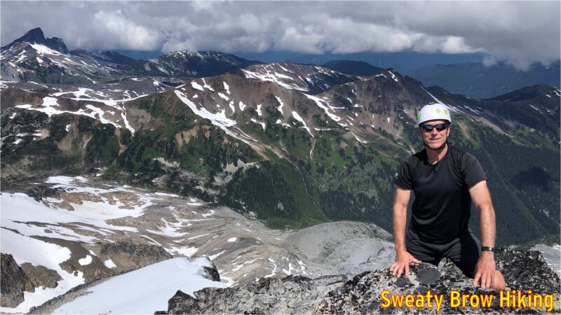
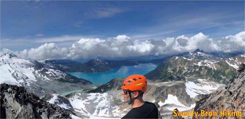
Looking around, we could see that there were some troubling clouds beginning to gather around the area. The Black Tusk began to play peek-a-boo, and there was a lot of development down towards Squamish, beyond Mount Garibaldi. Soon, we began our descent.
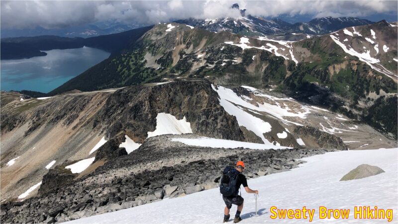
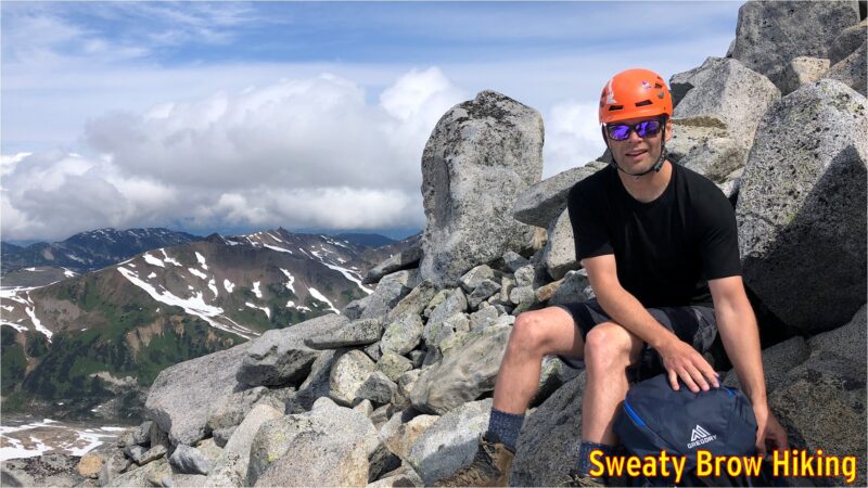
Once again, we stopped atop Polemonium Ridge for a bite to eat, and to get a few last photos of the day’s destination. Then, the long, steady trip back down to camp.
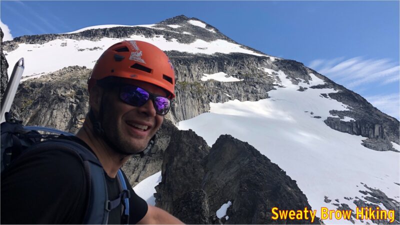
When we were approaching camp, and our tents grew from tiny specks on the gravel into recognizable objects, something didn’t appear right. Jeff’s tent looked… messed up. It appeared to be partly opened, and no longer fully standing. We became very concerned that perhaps a bear had gone for a little look-see in camp.
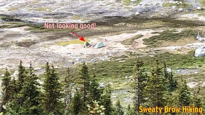
When we actually reached the tents, there was a great sense of relief. The gravel that we had set up on had just softened with all the rain the previous day, and one or two of Jeff’s tent pegs had pulled out, causing one side of the tent to collapse in on itself. No bears here!
We had taken quite a while to get to the summit and back. A trip of 3 km each way, so 6 in total, had taken us six hours. Yup, we averaged 1 km/h. Probably one of the slower hikes I’ve done! But we were in no rush, there was a bit of complicated micro-terrain to work through in a couple of places, and we still had a long hike out ahead of us.
We packed up our tents, and began the hike out shortly before 4 PM. We knew that the hike out would take quite a while, and we would be pushing dark by the time we got back, but it was a well established trail, and we had headlamps!
The trip back was much easier than the hike in had been, and the views much more pleasant. Once we climbed up and out of Gentian Pass (up, up, up the slippery grassy meadows), the trip along the ridge toward Helm Peak had much more expansive views. What’s more, we could actually see where we were going, and bypass some of the bumps along the way.
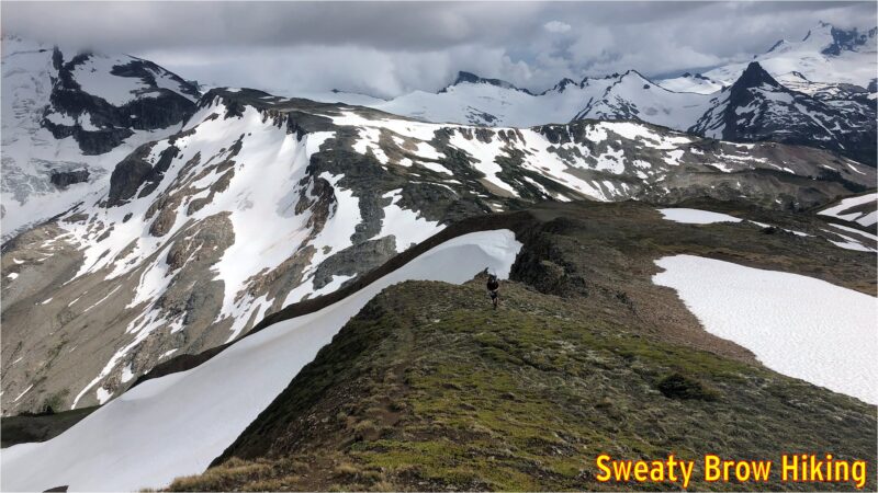
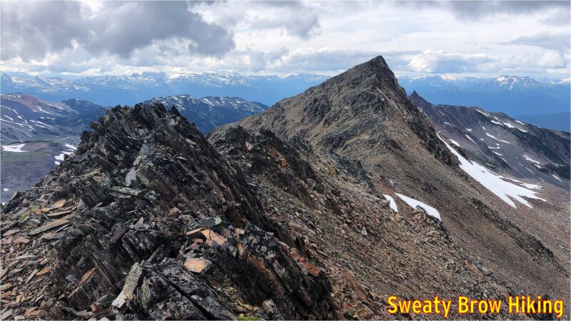
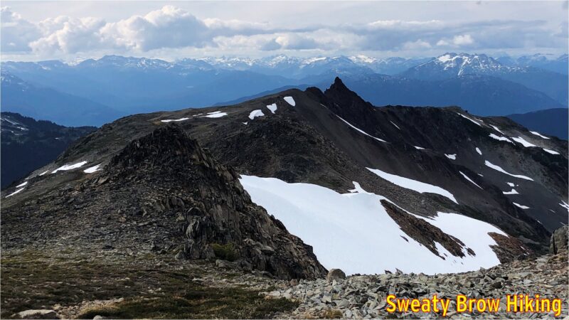
The route back down to Helm Creek Campground was also more straightforward, following the ridge down almost all the way to the groomed trail, rather than the makeshift route we took up the side of the valley on the way in. The ridge is still brutally steep, coming up or going down, but at least there is a rudimentary trail.
At 7:15, we passed through the campground, and continued down the hill.
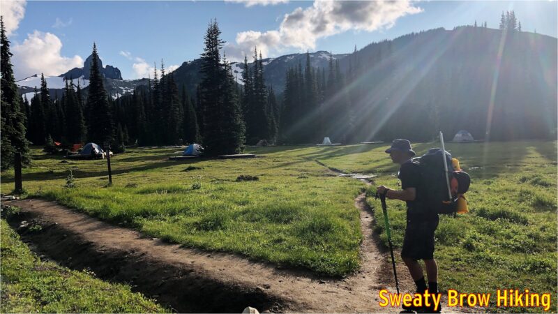
We reached the bridge across Cheakamus Creek at 9:00, and grabbed our chilled beverages on the way by. We cruised back along the trail, and reached the parking lot just around full dark, at 9:35.
Overall, we hiked about 31 km in total, and climbed/descended over 2900 meters of elevation, over the course of two days. The trip was a memorable experience, getting deep into the backcountry of Garibaldi Park.
