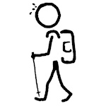
June 2018. Glasgow. I had just landed, after a miserable flight from Vancouver. I had booked a bulkhead seat, so I had a ton of room to stretch out. I had brought along ear plugs, and a sleep mask (blindfold) to help out on the red-eye flight. I thought I was all prepared. What I wasn’t prepared for was the very young person a few seats over. Approximately every 45 to 60 minutes, this little beastie started to shriek. I mean, I felt sorry for the kid – and his parents – but what really matters is that I didn’t get a wink of sleep on my trip across the pond.
I arrived in Glasgow around 10:00 AM local time, which was 2:00 AM by my body’s clock. I picked up my rental (a nice little VW Golf) and set out on my adventures. I had ten days and nights, and a list of at least a couple of dozen mountain peaks that I wanted to hike up.
I started with a trip to the Cotswold Outdoor shop in Glasgow’s West End Retail Park. Picked up a few maps, a book on the Munros of Scotland (all mountain peaks with an elevation of over 3000 feet), and a few supplies, like fuel for my stove, that I couldn’t bring on my flight. I also stopped at a nearby mall, and picked up a local SIM card for my phone. One big plus on this trip was the cell coverage – it was very good, with gobs of cheap and plentiful data.
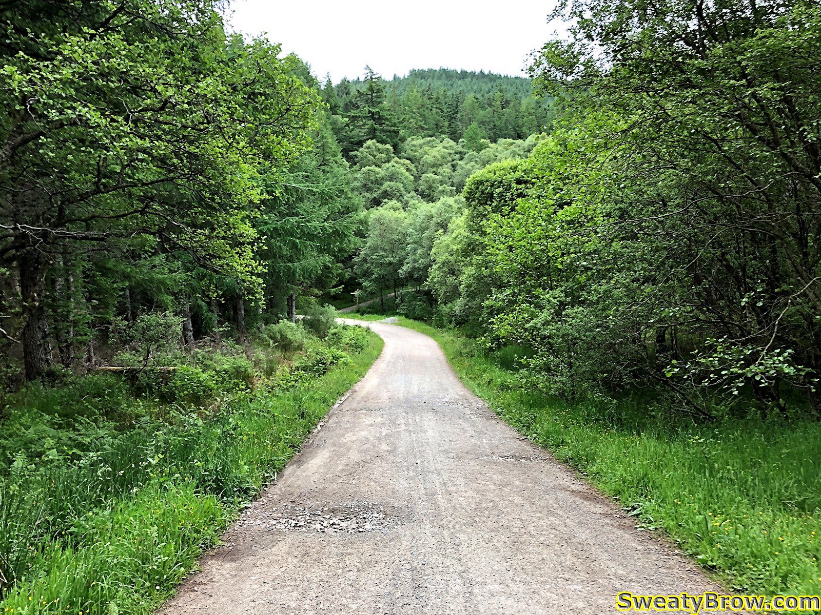
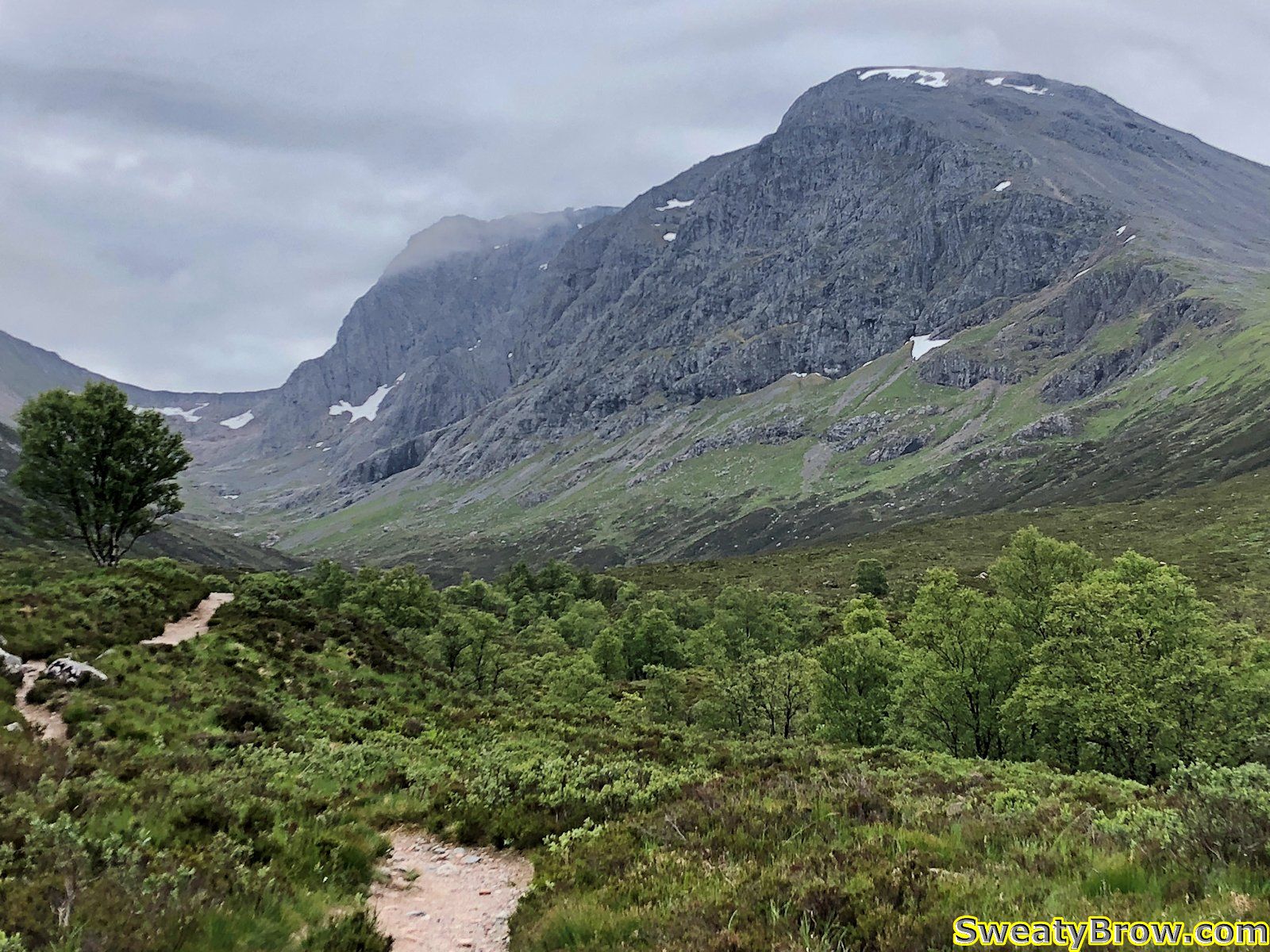
From there, I drove to Fort William, where my adventures would begin! On the way, I looked around Glencoe a little bit, and scoped out the north face car park for Ben Nevis. Ben Nevis (The Ben!) is the tallest mountain in the UK, at 4413 feet (1345 meters). I found a campground nearby, and checked in for the next couple of nights. The plan was to climb Ben Nevis the following day (my first *full* day in Scotland) and return to the same campground that night, and decide on my next objective from there.
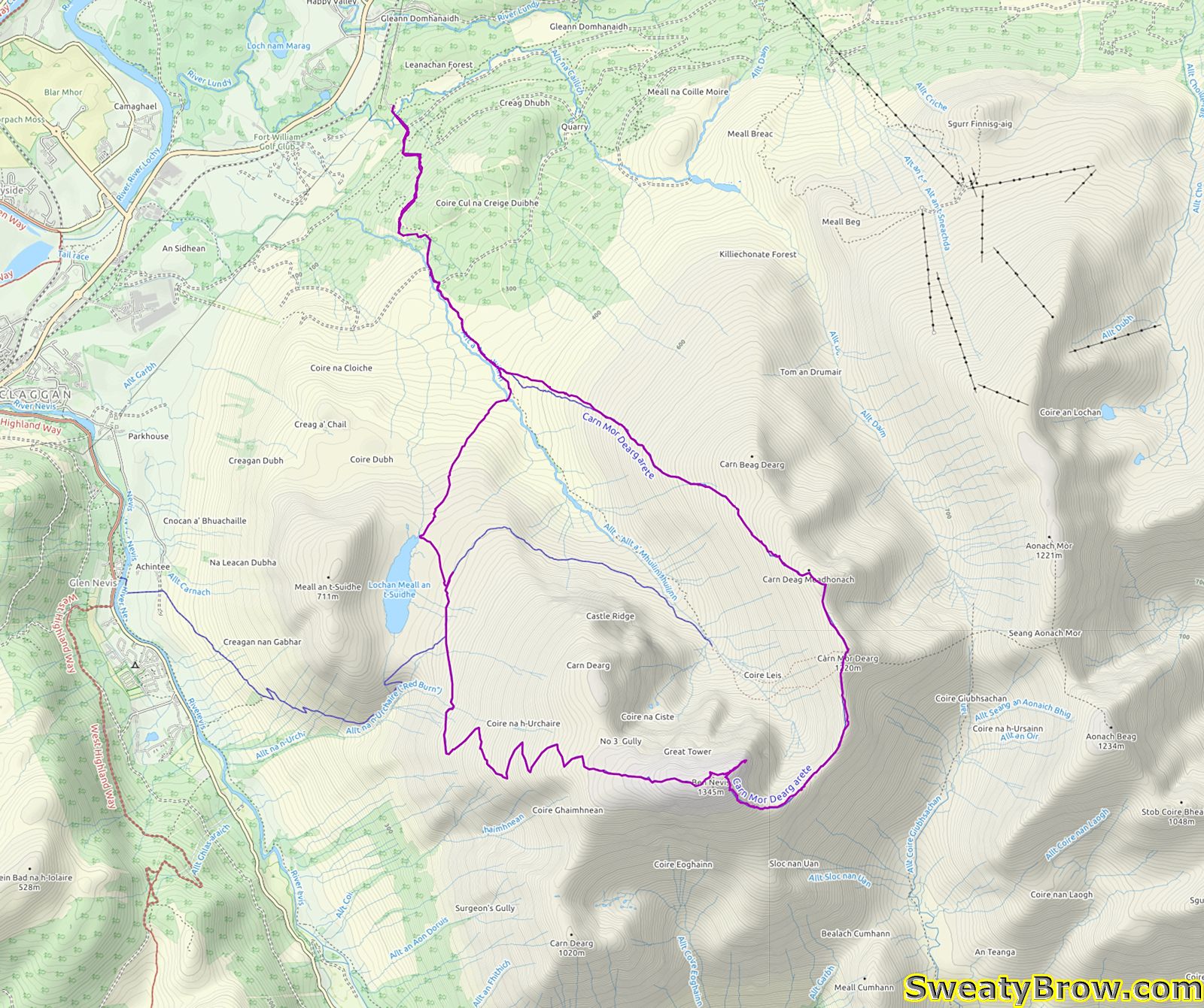
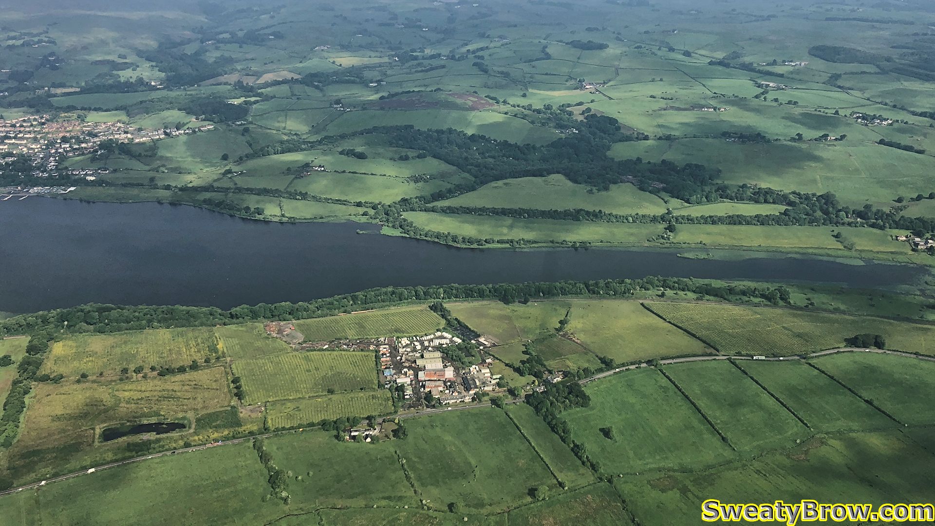
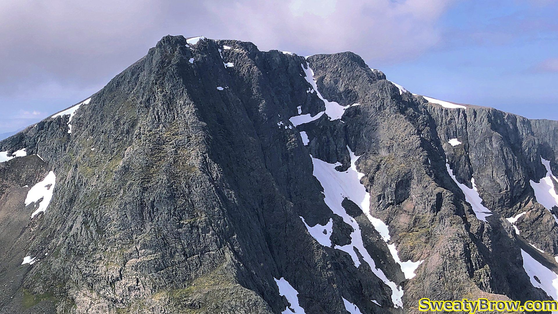
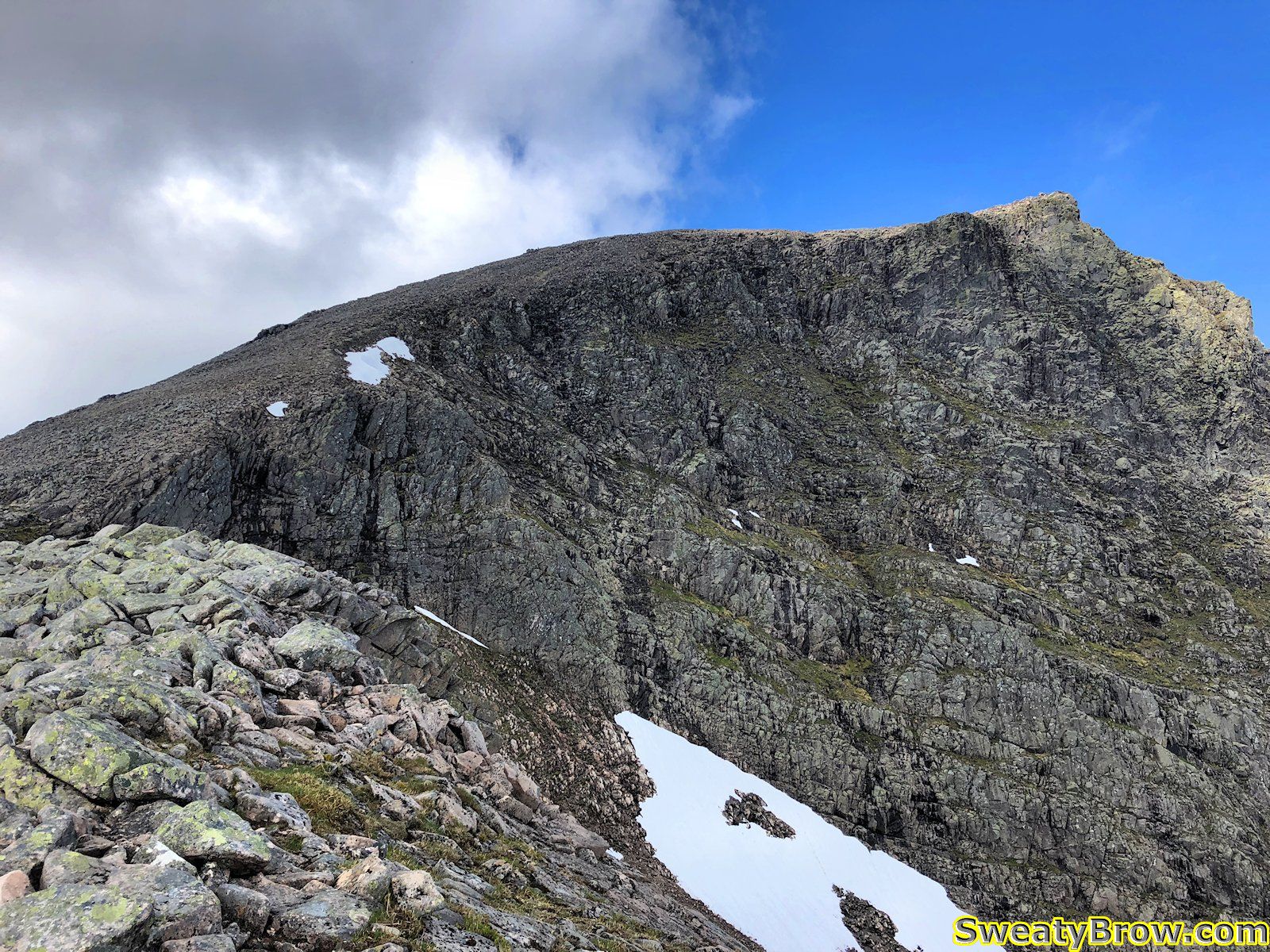
I awoke bright and early Wednesday morning, after sleeping very, very poorly – jet lag sucks. I headed to the North Face Car Park, and set out at about 7:45 in the morning. My route was going to take me via what is known as the Càrn Mòr Dearg arête. This avoids the boring “tourist path” or “pony track” that most people take to ascend Ben Nevis – a very mundane trail that follows switchback up a dull, steep hill. The CMD launches you up to the top of a Munro on the east side of Ben Nevis, with stunning views of the North Face of the Ben – a sight that the hikers on the other side of the hill just never get to see. After reaching the summit of Càrn Mòr Dearg (which is the 9th tallest peak in the UK) the route follow a ridge line that heads south then turns west towards Ben Nevis. The ridge then steepens and climbs a long talus slope to the summit.
Everything started out smoothly. The first 2.5 km were a relatively gentle grade, up a fine trail along the Allt a’Mhuillin. After that, however, I started up a steeper, unrelenting grass and heather covered slope toward Càrn Mòr Dearg.
Two and a quarter hours from the car, I reached the summit of Càrn Mòr Dearg, my first ever Munro summit!
What is a Munro, you ask? Well, in 1891, a gentleman by the name of Sir Hugh Munro created a list of all mountains higher than 3000 feet (914.4 meters) in Scotland. The list has undergone some amendments since then, and there are currently 282 mountains classified as Munros in Scotland. Some subsidiary summits that are high enough to be Munros, but are closely associated with a main peak, are known as Munro Tops – there are another 227 of those. There is some discussion about how much “prominence” is required to be a Munro, versus a Top, but 282 is where the current number stands.
Anyway, the summit of Càrn Mòr Dearg didn’t present any particular difficulties, apart from a lot of steep slogging uphill, with a bit of looser rock near the top. The most challenging thing on the summit was the cloud of midges that had gathered. I stopped for a bit of food – buns and peanut butter – but didn’t linger, as the midges appeared to want to eat as well.
What are midges, you ask? They are tiny biting flies, and they exist around the world – but those in the Highlands of Scotland are notorious. They are most active at dawn and dusk, but seem to congregate in mountainous areas throughout the day. Fortunately, they can’t handle much more than a light breeze, so a windy day provides a welcome reprieve. Their bites are painful (they saw through the skin with their serrated mouthparts, rather than piercing it like a mosquito) and result in very itchy welts. They are an issue from late in May through September.
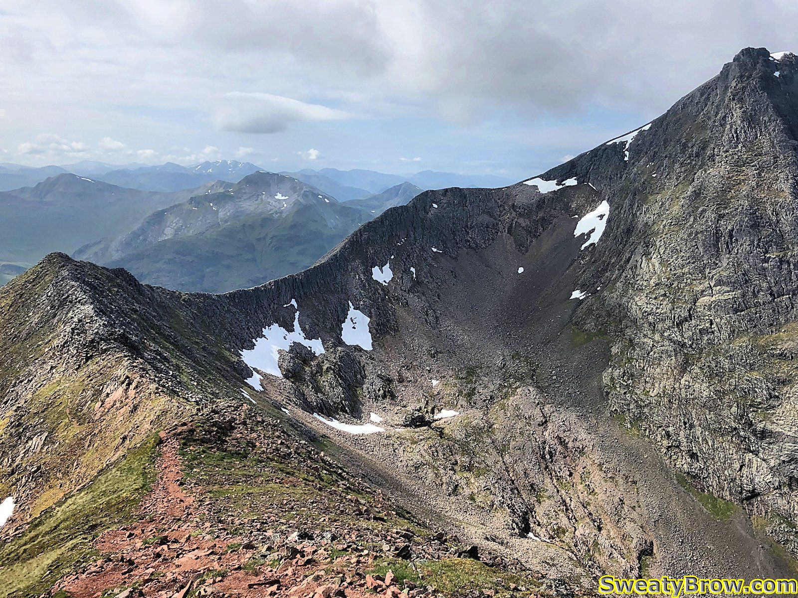
The next section was pretty cool, following the ridge around toward Ben Nevis. There was a bit where it became a bit problematic to remain on top of the ridge, due to some blocky, time-consuming scrambling, so I dropped down to a trail below the ridge-top, off to the left. Unfortunately, it was tough to get back up on the ridge for a little while, so I missed a bit of exciting terrain, but soon I was back on top.
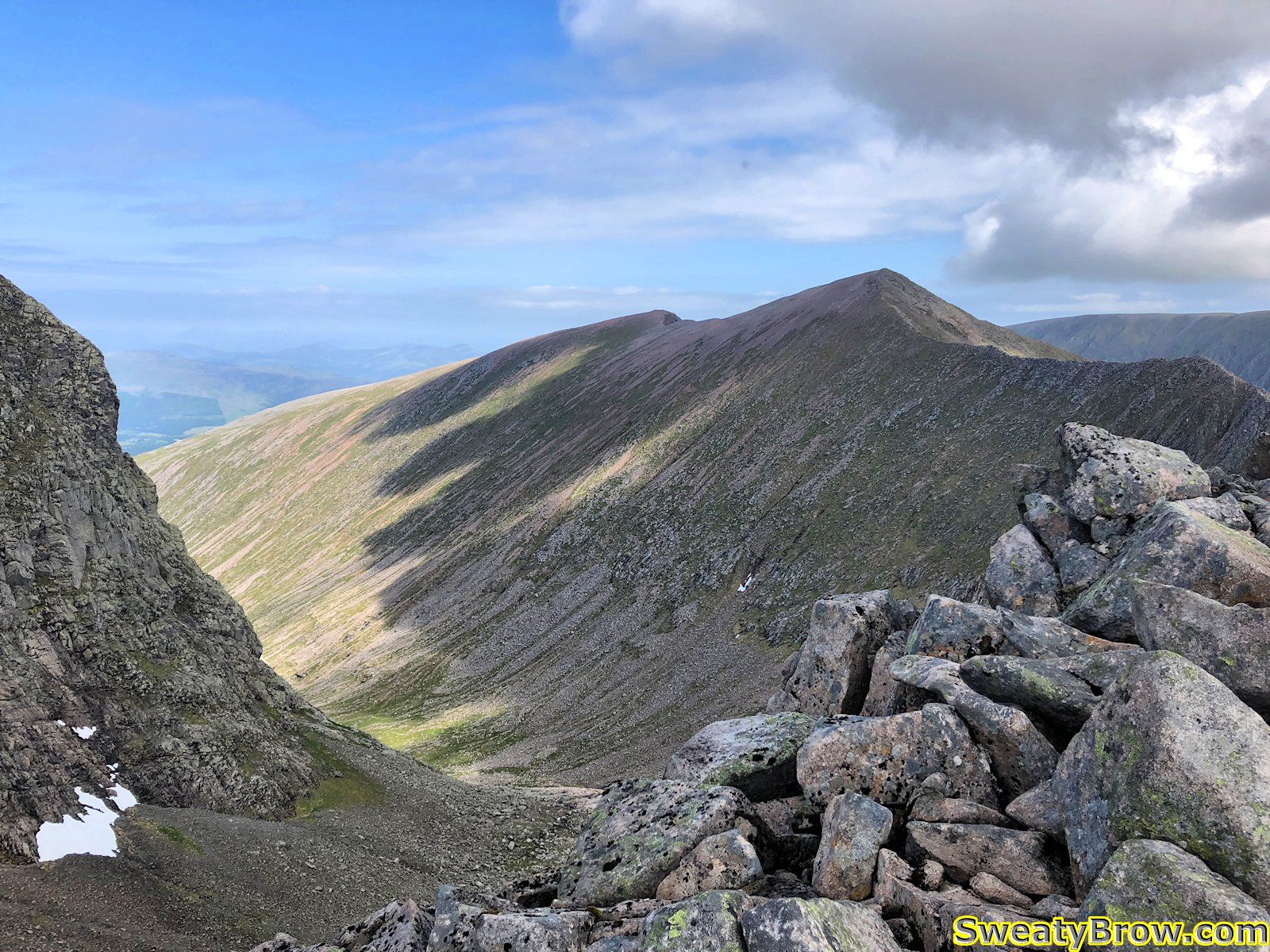
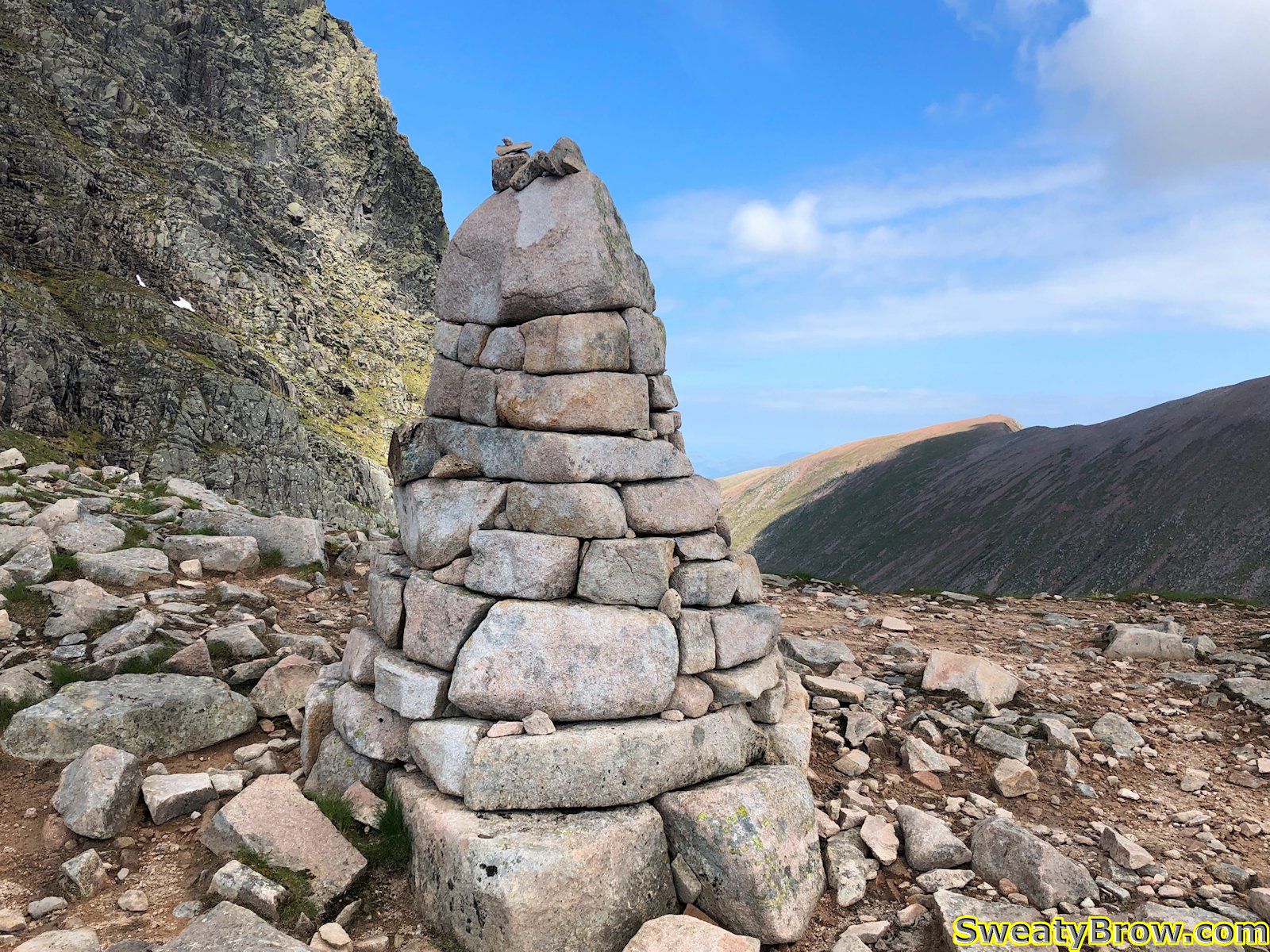
About 45 minutes after the summit of Càrn Mòr Dearg, I was at the low point of the ridge.
Around this time, the lack of sleep, and jet-lag started to really kick in. According to my body clock, it was around three in the morning, and I hadn’t slept very much, or very well, over the previous 48 hours. My whole body was dragging.
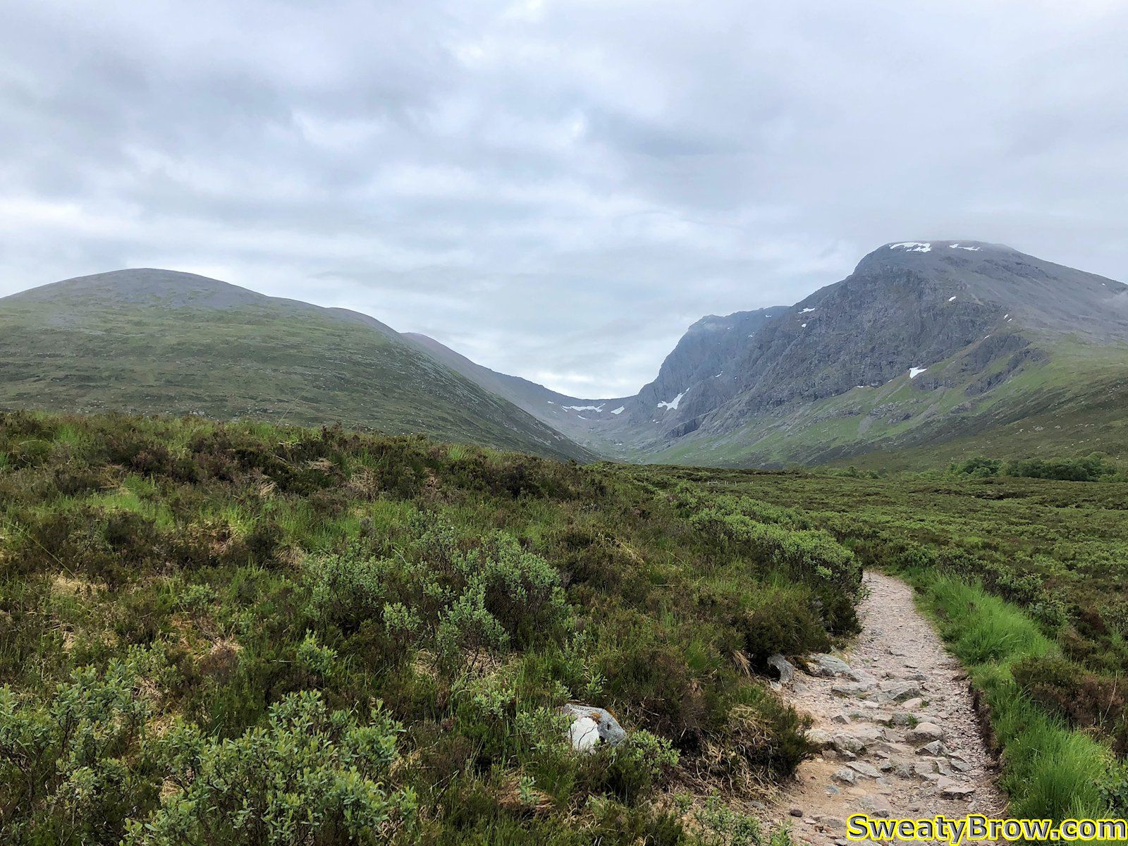
When I began up the final ridge toward the summit of Ben Nevis, a climb of about 300m (1000 feet) I felt like I was in the death zone of Mount Everest. This was a long, steep incline of large boulders, and after every 10 steps or so, I had to sit down and catch my breath. That last 300m, over a distance of about 1 km, took over an hour to cover.
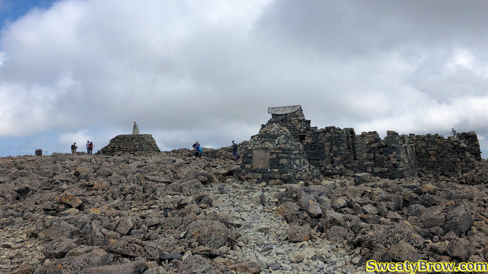
Eventually, around 4 1/2 hours after setting out, I reached the top of the ridge, and the broad – well, huge, really – summit plateau. First I wandered over the the far northeast corner, where I could view the entirety of my route up, then back westward, past the ruins of the old observatory, and various markers.
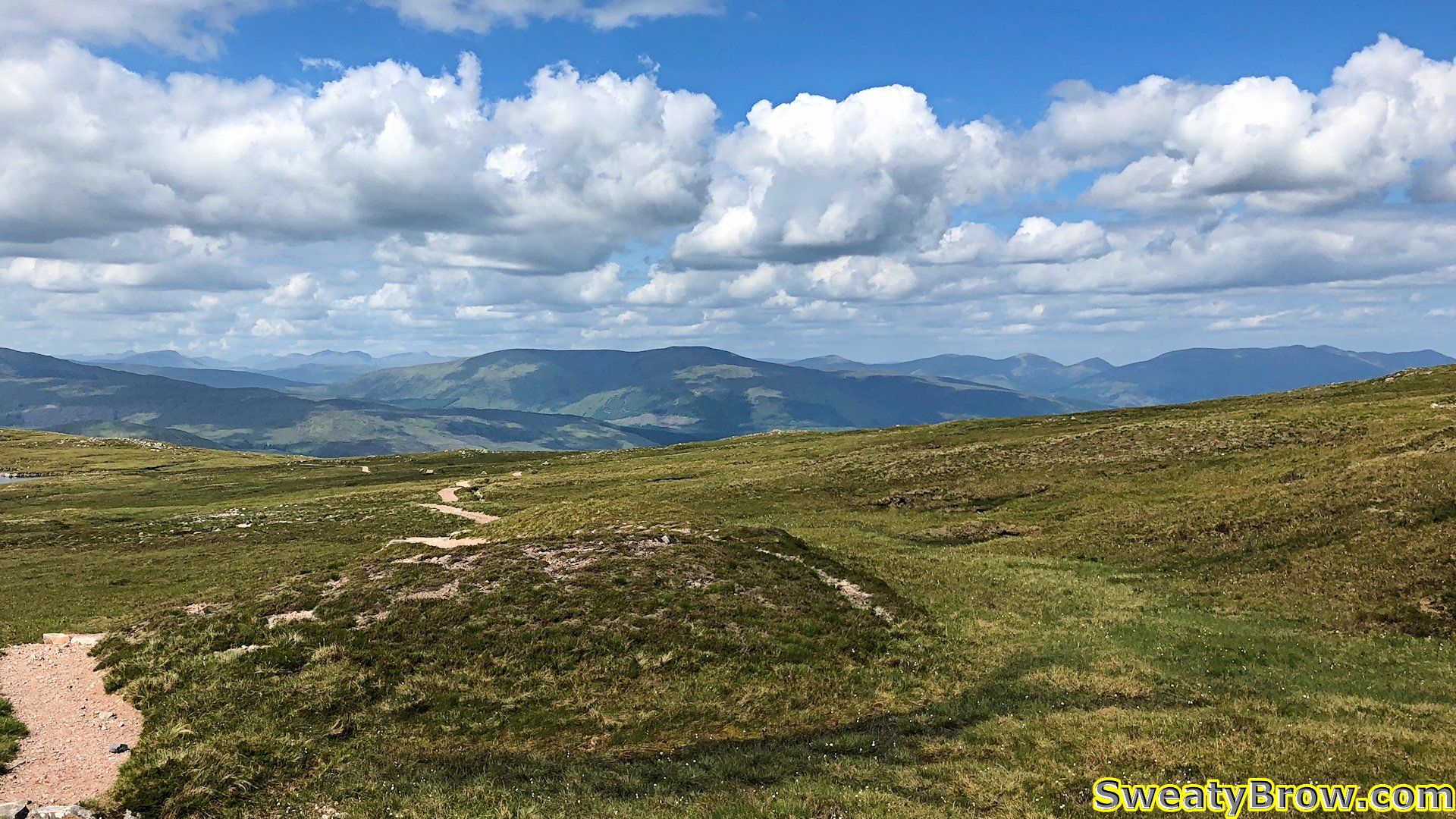
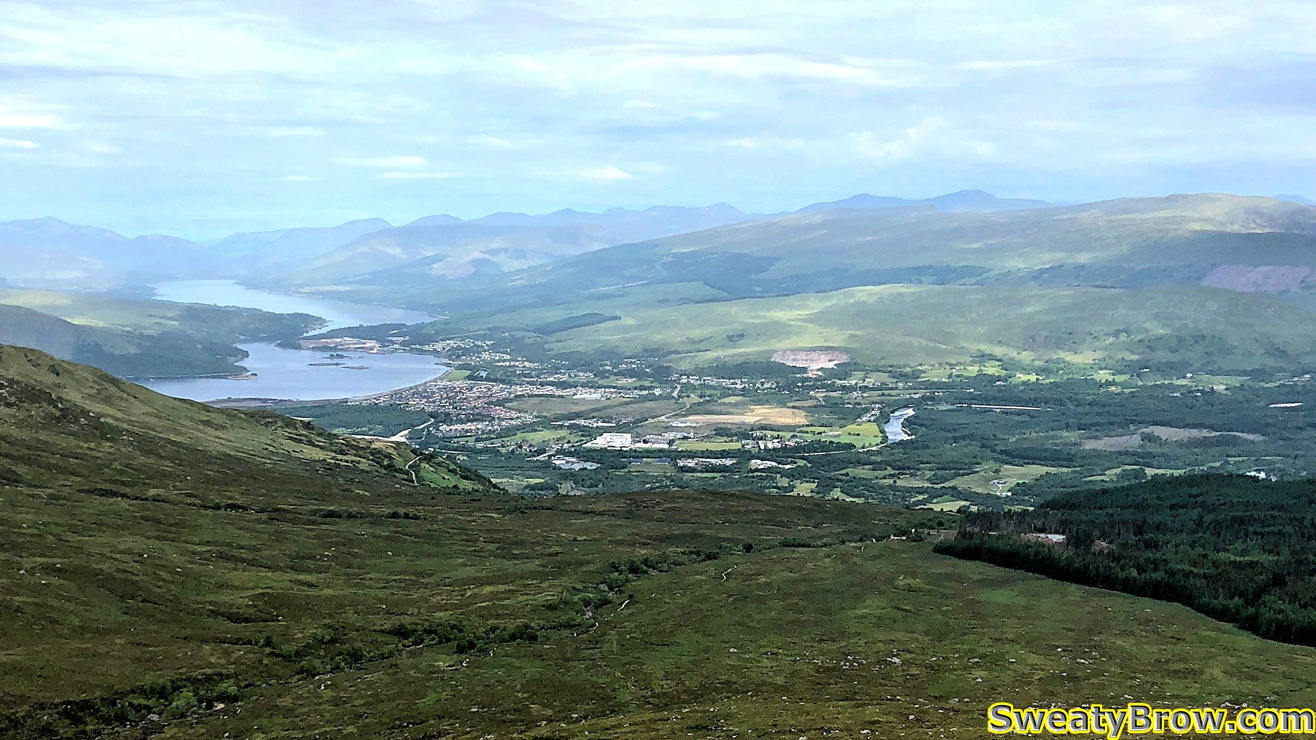
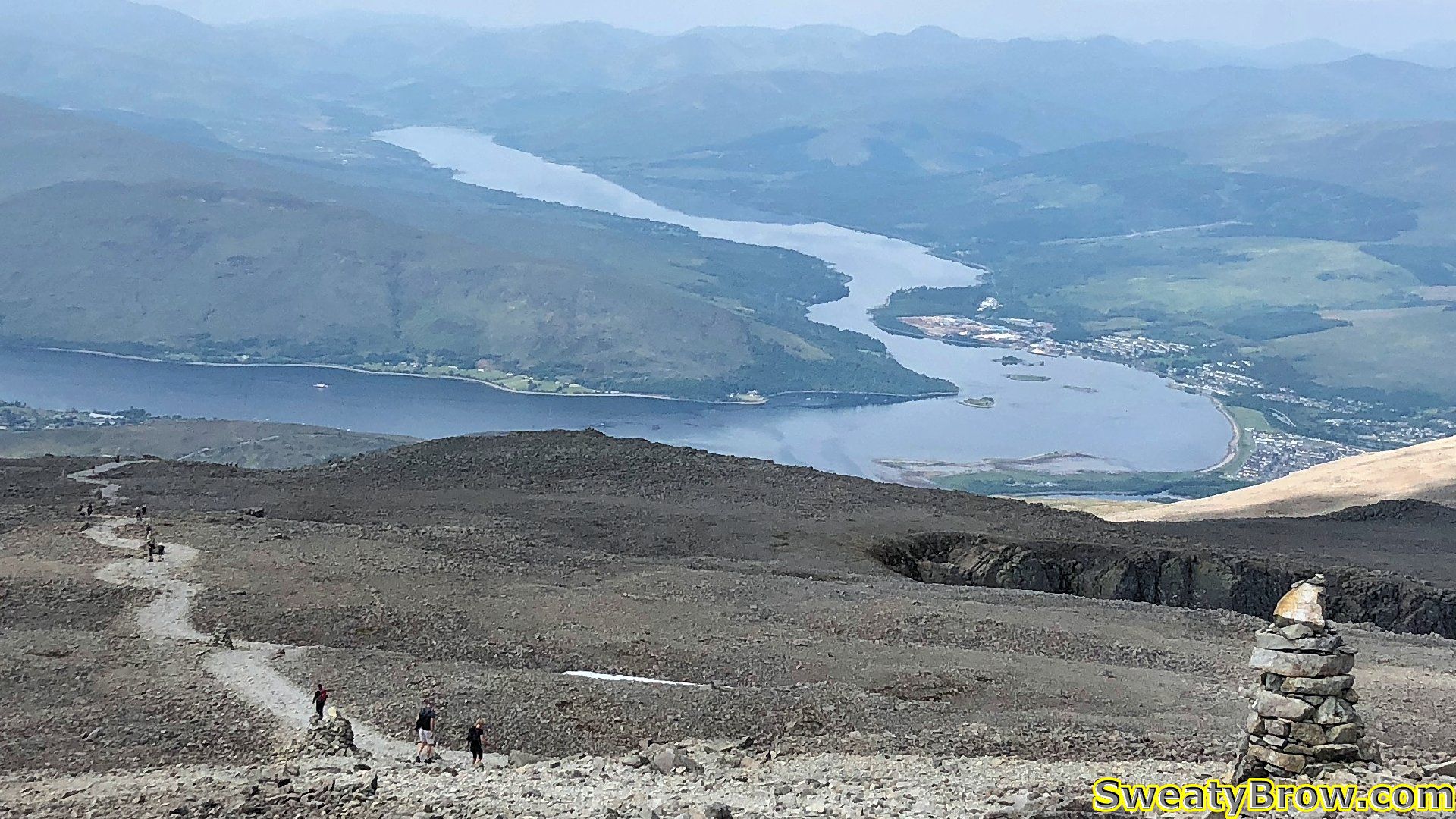
After a while wandering around on the summit, I started down via the “tourist route” on the west side of the mountain. There was pretty much a constant stream of people coming and going along the path, a sharp contrast from the three people I saw on the other end of the mountain – two going the same direction as me, and one the opposite way.
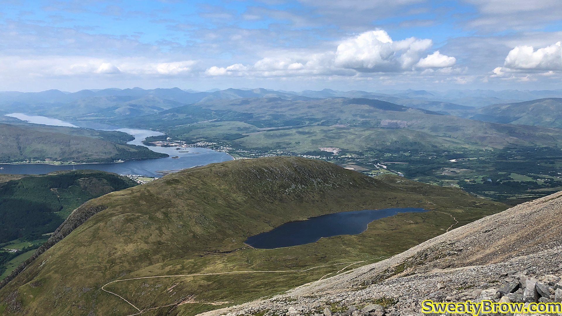
I followed the trail for about an hour, down to Lochan Meall an t-Suidhe. At that point, I broke off toward the outlet on the north end of the lochan, and then across country, to rejoin my route up.