
The weather had been good for a few days, but I hadn’t had an opportunity to go hiking (aside from a couple of short hikes near Whistler – more on that here).
Saturday the 29th looked like the weather would start out fine, and end up showering by around dinner time – probably earlier in the mountains. So I decided to tackle a couple of peaks on the North Shore that I had never hiked before. They are relatively easy hikes, without any sort of technical difficulties, and very easy routefinding. That way, if the rains came early, I wouldn’t be stuck in a challenging situation.
The only issue with hiking these two peaks (Mount Strachan and Black Mountain) is that they are on the opposite sides of the parking area at Cypress Bowl – which means basically two out-and-back hikes, with no opportunity to traverse from one to the other. So: Gain all the elevation, lose all the elevation, and then gain all the elevation again!
I got a bit of a late start, not arriving at the parking lot until about 11:30. The place was packed! So many vehicles, so many people. Everyone wanted to take what might be one of the last not (yet) rainy weekends of the hiking season.
I started out heading east from the parking lot on the Baden-Powell Trail, and hiked right past the turnoff to head up the Mount Strachan Trail – it was well hidden by some logs and snags. I checked my GPS, and backtracked about 200m to find it; from there it was easy to follow.
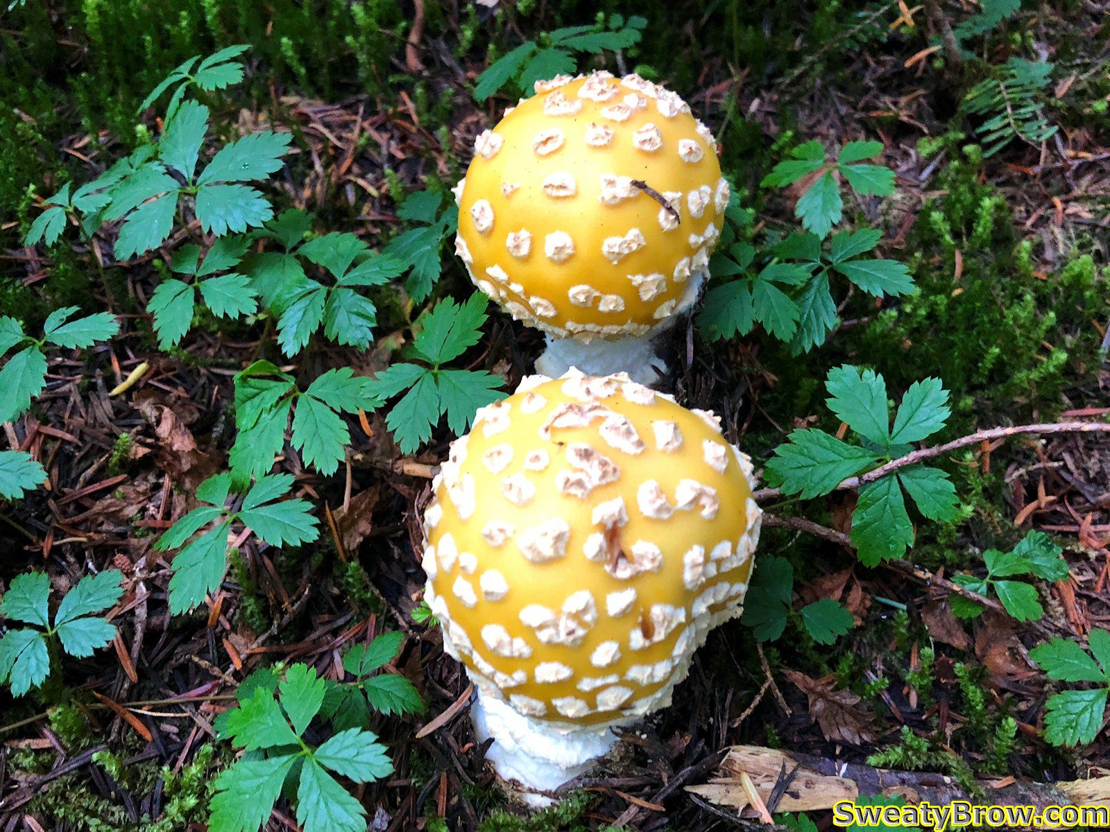
There were a few big, beautiful old growth trees along the way, as I climbed through the forest. Lots of delicious blueberries were on offer as well – I had a few, just to sample them. A few mushrooms were gaudily on display, too.
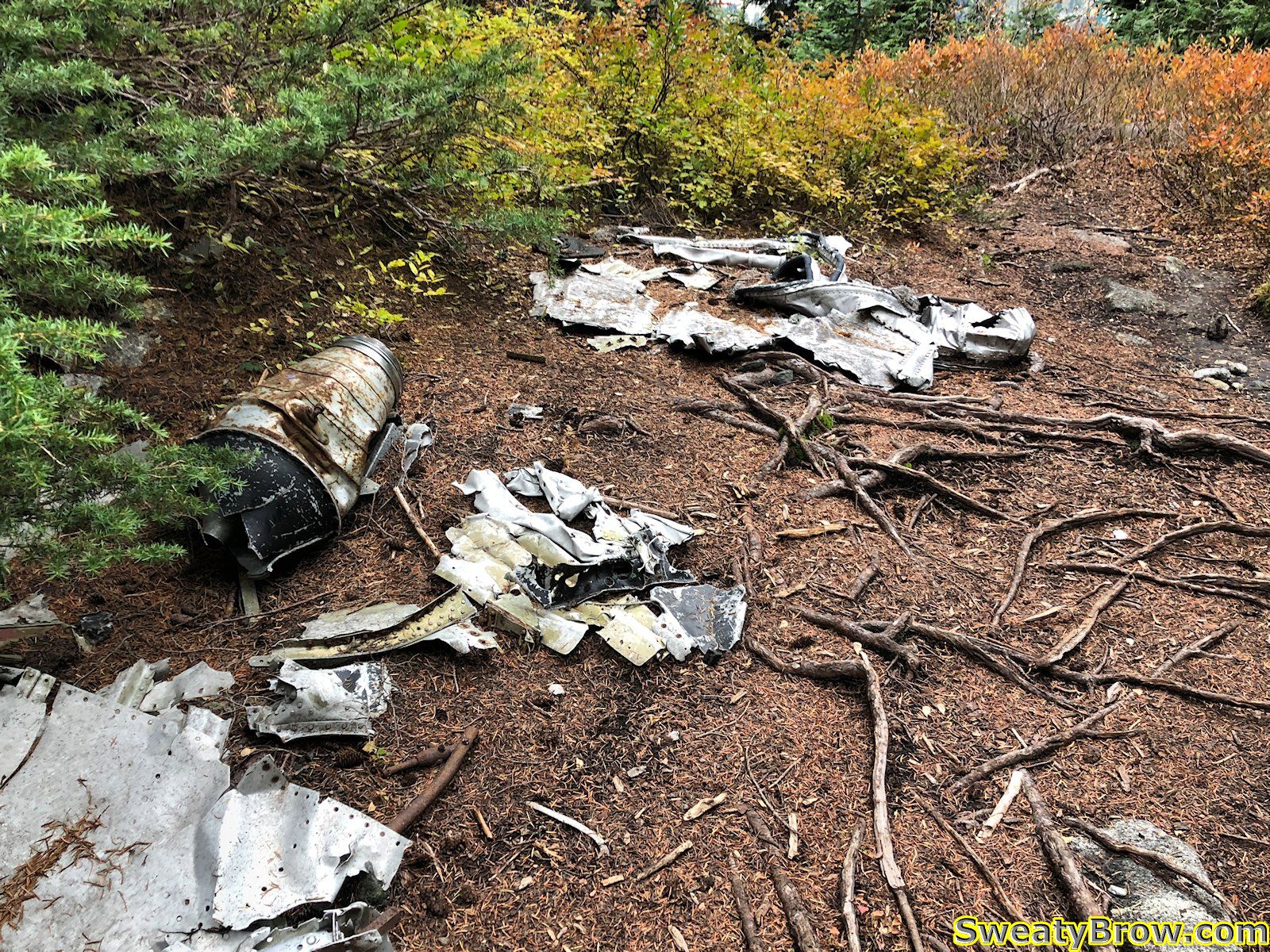
After about an hour on the trail, I reached the site of a 1963 plane crash. Debris from the aircraft, a small two-seater jet training aircraft, is scattered across the trail. Two members of the Royal Canadian Navy died in the crash, which wasn’t found until three days after the accident.
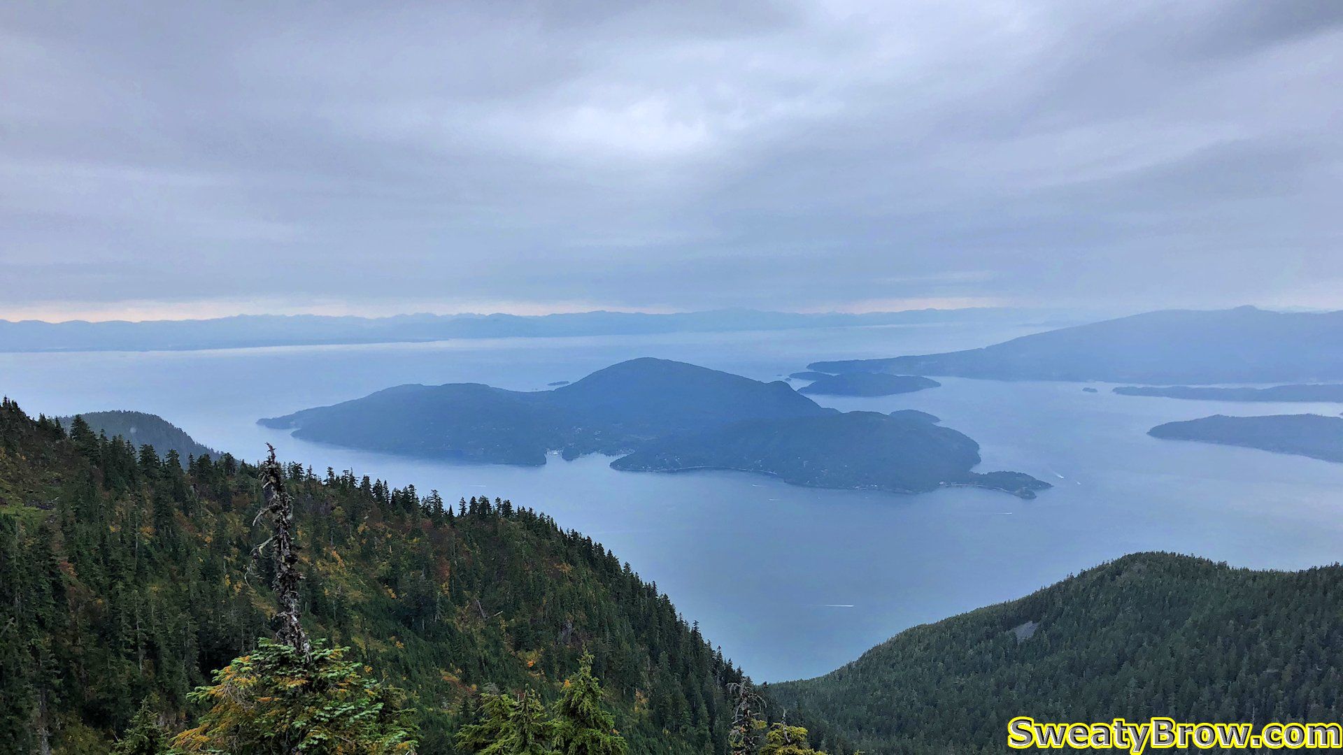
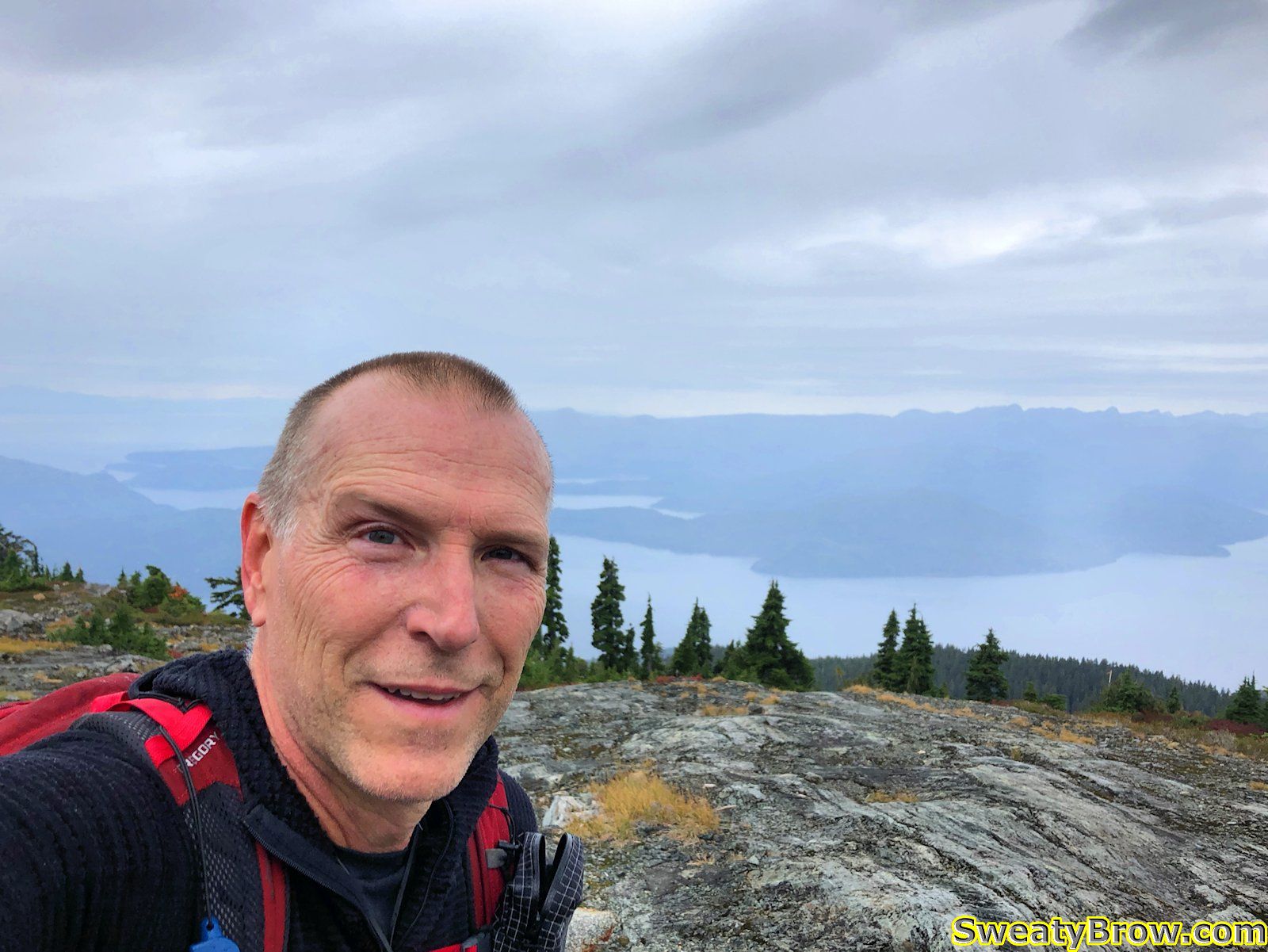
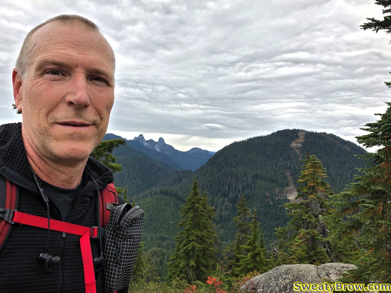
After this point, I began to feel occasional raindrops – the rain was arriving a little bit early! Fortunately, it didn’t come down heavily at all, and was quite intermittent. I reached the south summit after about an hour and a quarter. This is the peak that the Sky Chair ski lift reaches. It was a little windy, with occasional raindrops continuing to fall, but the view was pretty nice toward the southwest, looking over Howe Sound.
From here, there was a drop of about 30 meters or so, down into a saddle, then up the other side about 35 meters to reach the north, true summit of the mountain. In the saddle there were quite a few people taking a break, and enjoying the whiskey jacks that were flying around, cadging food.
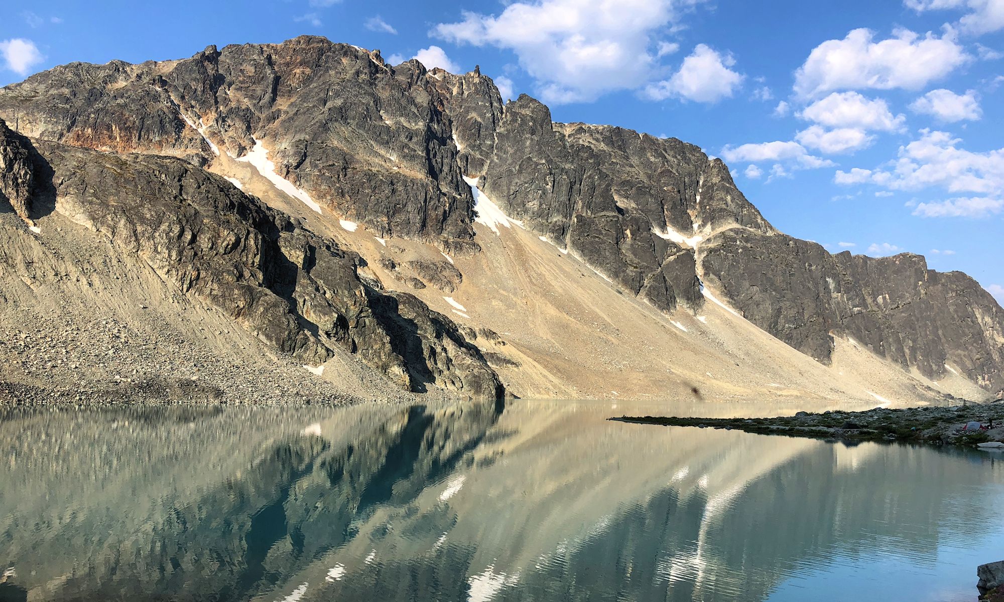
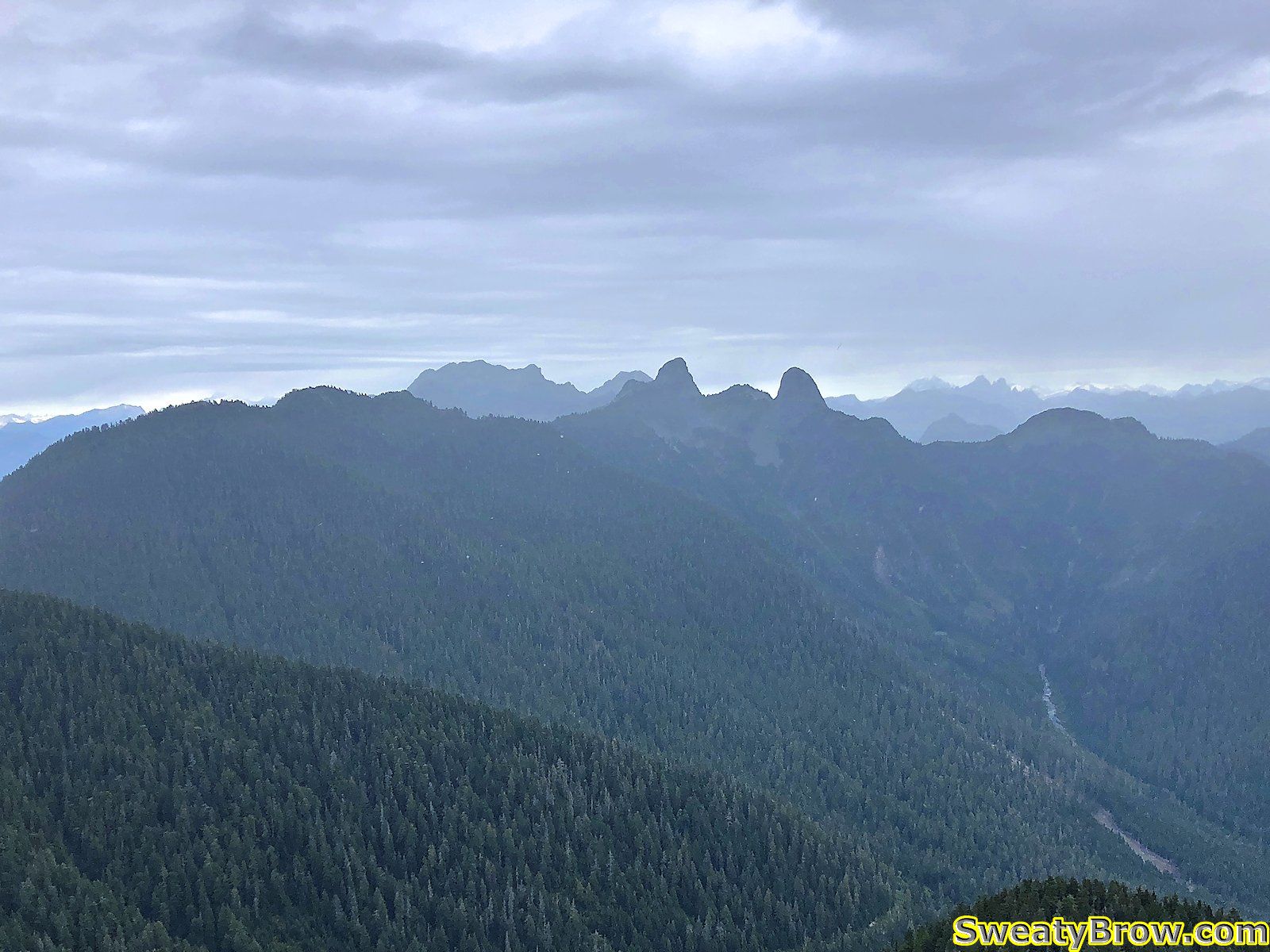
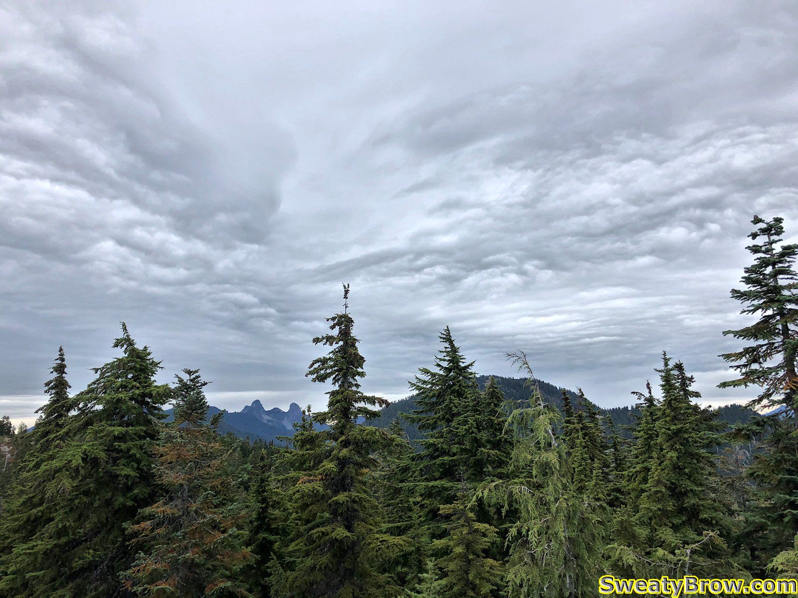
Quickly up the other side of the saddle, up some fun little slightly scrambly steps, and I was on the north summit. Considering the weather conditions, the view north was pretty good – it would be quite lovely in better weather! There were showers visible further to the east, but pretty clear looking toward Brunswick, The Twins (Lions) and the Sky Pilot group (Co-pilot, Sky Pilot, and Ledge).
A couple of minutes to look around, and I set off back down the trail. I still had another mountain to climb, and wanted to do it before the rain struck in earnest! I followed the trail until the vicinity of the T-33 crash site, then moved onto the service road, following it down to make better time. At this point the drizzle was fairly steady, but still light. It faded away before I reached the parking lot.
I was back at the parking lot at 2:05 PM, a little under two-and-a-half hours after setting out, and began to make my way up the Baden-Powell trail in the other direction – toward Black Mountain.
This trail is much more clear, maintained, and well-defined. There were a lot of people going up and down there!
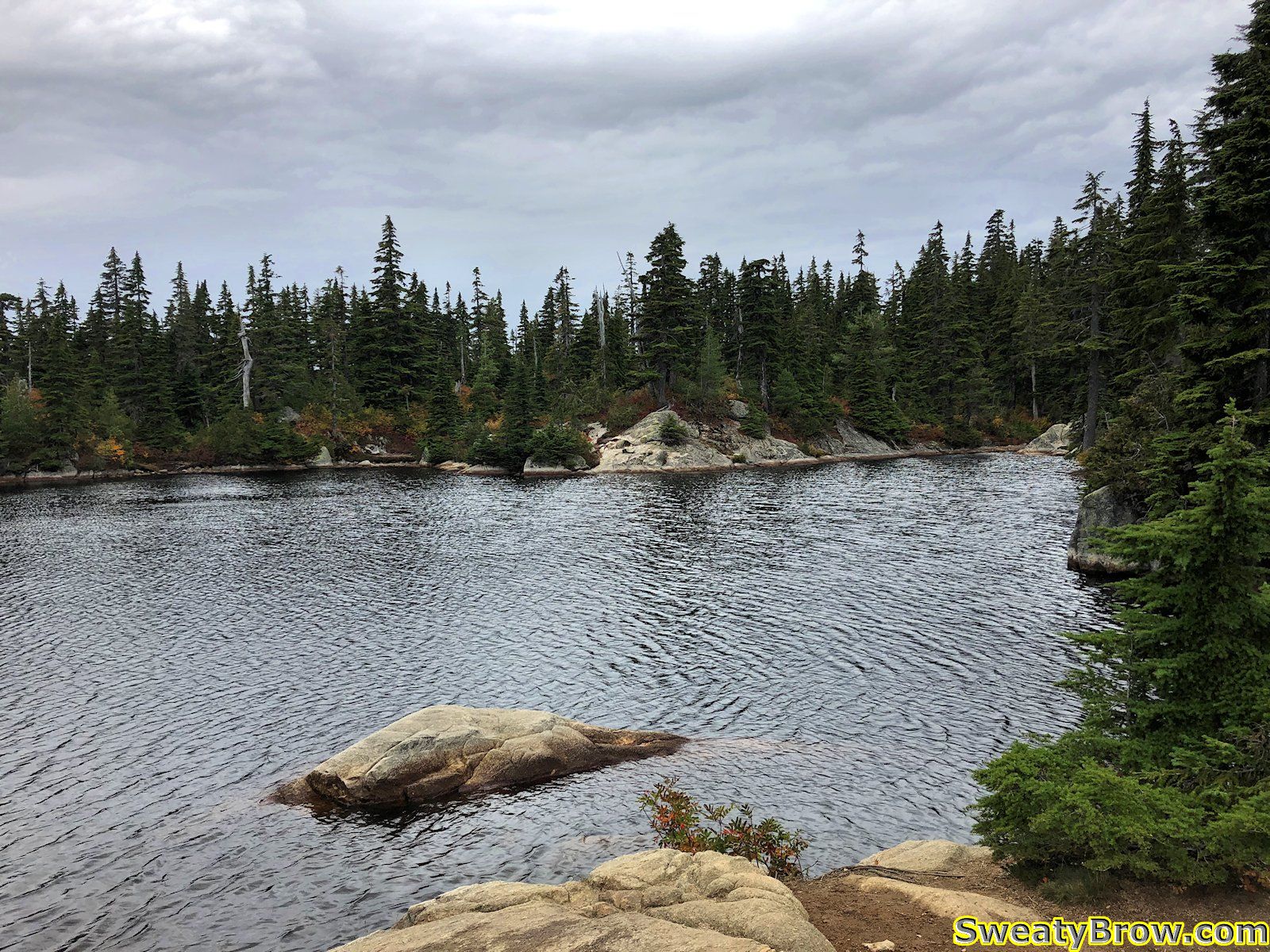
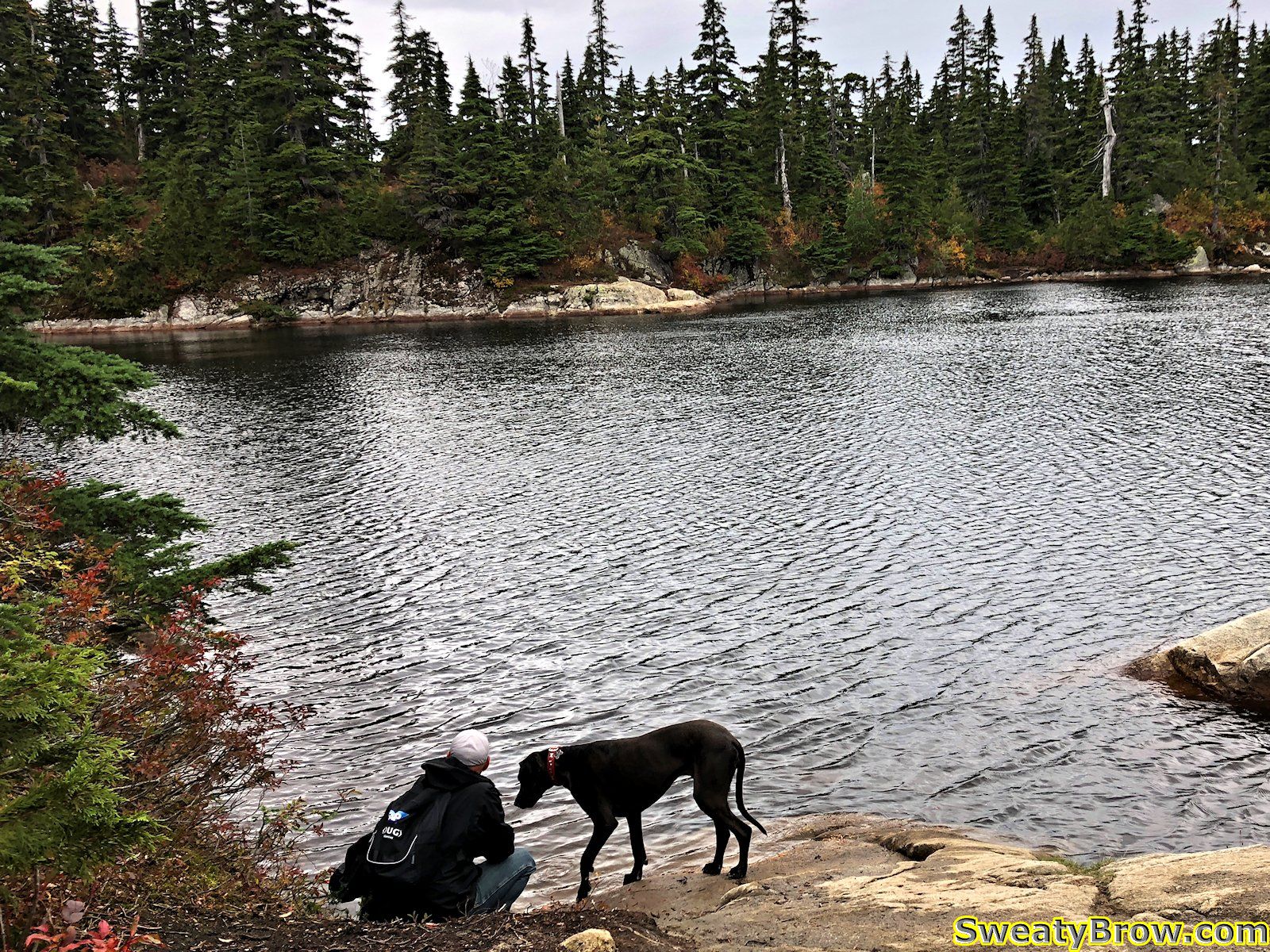
I reached Cabin Lake in about half an hour. Lovely little lake, that!
I turned left and hiked to the south summit of Black Mountain in a few minutes. There were nice views over the city and Howe Sound, but I don’t think I took photos that way…
I then returned to Cabin Lake, and set off toward the north summit, via a far less traveled trail, despite the fact that the north summit is actually the higher of the two. The views from the top, however, are not as dramatic as from the south summit.
After a couple of minutes, I returned the way I came, and was soon back at the car. The rain held off the entire time I went up and down Black Mountain – perfect!
Total of about 12 km hiked, and up/down a total of around 800 meters or so. All in a little less than four hours – and I was home in time for dinner!